File:Netherlands Antilles (Leeward Islands) location map.svg
Jump to navigation
Jump to search

Size of this PNG preview of this SVG file: 300 × 599 pixels. Other resolutions: 120 × 240 pixels | 240 × 480 pixels | 384 × 768 pixels | 513 × 1,024 pixels | 1,026 × 2,048 pixels | 1,102 × 2,200 pixels.
Original file (SVG file, nominally 1,102 × 2,200 pixels, file size: 42 KB)
Captions
Captions
Add a one-line explanation of what this file represents
Summary
[edit]_location_map.svg&action=edit§ion=1)
| Description |
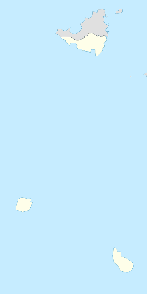
Deutsch: de|1=Positionskarte der Niederländische Antillen (Inseln über dem Winde)
Quadratische Plattkarte, N-S-Streckung 107 %, Geographische Begrenzung der Karte:
English: Location map of the Netherlands Antilles (Leeward Islands)
Equirectangular projection, N/S stretching 107 %, Geographic limits of the map:
|
| Date | |
| Source | Own work |
| Author | Rosso Robot |
| SVG development |

|
This map has been made or improved in the German Kartenwerkstatt (Map Lab). You can propose maps to improve as well.
|
Licensing
[edit]_location_map.svg&action=edit§ion=2)
I, the copyright holder of this work, hereby publish it under the following licenses:
This file is licensed under the Creative Commons Attribution-Share Alike 3.0 Unported license.
- You are free:
- to share – to copy, distribute and transmit the work
- to remix – to adapt the work
- Under the following conditions:
- attribution – You must give appropriate credit, provide a link to the license, and indicate if changes were made. You may do so in any reasonable manner, but not in any way that suggests the licensor endorses you or your use.
- share alike – If you remix, transform, or build upon the material, you must distribute your contributions under the same or compatible license as the original.

|
Permission is granted to copy, distribute and/or modify this document under the terms of the GNU Free Documentation License, Version 1.2 or any later version published by the Free Software Foundation; with no Invariant Sections, no Front-Cover Texts, and no Back-Cover Texts. A copy of the license is included in the section entitled GNU Free Documentation License. |
You may select the license of your choice.
File history
Click on a date/time to view the file as it appeared at that time.
| Date/Time | Thumbnail | Dimensions | User | Comment | |
|---|---|---|---|---|---|
| current | 14:55, 13 June 2009 | | 1,102 × 2,200 (42 KB) | Rosso Robot (talk | contribs) | (c) |
| 14:51, 13 June 2009 |  | 1,102 × 2,200 (42 KB) | Rosso Robot (talk | contribs) | (c) | |
| 14:42, 13 June 2009 |  | 1,102 × 2,200 (52 KB) | Rosso Robot (talk | contribs) | solved trace error | |
| 10:45, 12 June 2009 |  | 1,102 × 2,200 (122 KB) | Rosso Robot (talk | contribs) | cropped map | |
| 10:38, 12 June 2009 |  | 2,200 × 2,200 (122 KB) | Rosso Robot (talk | contribs) | {{Information |Description={{de|1=de|1=Positionskarte der Niederländische Antillen (Inseln über dem Winde) Quadratische Plattkarte, N-S-Streckung 107 %, Geographische Begrenzun |
You cannot overwrite this file.
File usage on Commons
The following 17 pages use this file:
- Cartographie des Caraïbes
- File:Kingdom of the Netherlands. administrative divisions - Nmbrs (1x zoom).svg
- File:Kingdom of the Netherlands. administrative divisions - Nmbrs (3x zoom).svg
- File:Kingdom of the Netherlands. administrative divisions - Nmbrs (marker).svg
- File:Kingdom of the Netherlands. administrative divisions - de (1x zoom).svg
- File:Kingdom of the Netherlands. administrative divisions - de (3x zoom).svg
- File:Kingdom of the Netherlands. administrative divisions - de (marker).svg
- File:Netherlands (+BES), administrative divisions - Nmbrs.svg
- File:Netherlands (+BES), administrative divisions - Nmbrs - colored.svg
- File:Netherlands (+BES), administrative divisions - de.svg
- File:Netherlands (+BES), administrative divisions - de - colored.svg
- File:Netherlands (+BES). administrative divisions - Nmbrs (1x zoom).svg
- File:Netherlands (+BES). administrative divisions - Nmbrs (3x zoom).svg
- File:Netherlands (+BES). administrative divisions - Nmbrs (marker).svg
- File:Netherlands (+BES). administrative divisions - de (1x zoom).svg
- File:Netherlands (+BES). administrative divisions - de (3x zoom).svg
- File:Netherlands (+BES). administrative divisions - de (marker).svg
.svg)
.svg)
.svg)
.svg)
.svg)
.svg)
,_administrative_divisions_-_Nmbrs.svg)
,_administrative_divisions_-_Nmbrs_-_colored.svg)
,_administrative_divisions_-_de.svg)
,_administrative_divisions_-_de_-_colored.svg)
._administrative_divisions_-_Nmbrs_(1x_zoom).svg)
._administrative_divisions_-_Nmbrs_(3x_zoom).svg)
._administrative_divisions_-_Nmbrs_(marker).svg)
._administrative_divisions_-_de_(1x_zoom).svg)
._administrative_divisions_-_de_(3x_zoom).svg)
._administrative_divisions_-_de_(marker).svg)
File usage on other wikis
The following other wikis use this file:
- Usage on ar.wikipedia.org
- Usage on ast.wikipedia.org
- Usage on be.wikipedia.org
- Usage on ceb.wikipedia.org
- Usage on de.wikipedia.org
- Liste der Nationalparks im Königreich der Niederlande
- Mount Scenery
- Wikipedia:Kartenwerkstatt/Positionskarten/Nordamerika
- Juancho E. Yrausquin Airport
- Green Island (Saba)
- The Quill (Vulkan)
- Vorlage:Positionskarte Niederländische Antillen (Inseln über dem Winde)
- Wikipedia:Kartenwerkstatt/Archiv/2009-06
- Wikipedia Diskussion:WikiProjekt Georeferenzierung/Archiv/2017-I
- Saba National Marine Park
- Fort Bay
- Ladder Bay
- Usage on el.wikipedia.org
- Usage on en.wikipedia.org
- Usage on eo.wikipedia.org
- Usage on fa.wikipedia.org
- Usage on fr.wikipedia.org
- Saba
- Saint-Eustache (Antilles)
- The Bottom
- Oranjestad (Saint-Eustache)
- Mont Scenery
- Quill (volcan)
- Modèle:Géolocalisation/Îles SSS
- Windwardside
- Zion's Hill
- Aéroport Juancho E. Yrausquin
- Phare d'Oranjestad
- Phare de St. John's
- Phare de Klein Curaçao
- Fort Willem I
- Fort Amsterdam (Saint-Martin)
- Musée Harry L. Johnson de Windwardside
- Église du Saint-Rosaire de Zion's Hill
View more global usage of this file.
_location_map.svg)
_location_map.svg&oldid=704764065)