File:POL Gmina Długołęka map.svg
Jump to navigation
Jump to search

Size of this PNG preview of this SVG file: 619 × 599 pixels. Other resolutions: 248 × 240 pixels | 496 × 480 pixels | 793 × 768 pixels | 1,058 × 1,024 pixels | 2,115 × 2,048 pixels | 627 × 607 pixels.
Original file (SVG file, nominally 627 × 607 pixels, file size: 269 KB)
Captions
Captions
Add a one-line explanation of what this file represents
Summary[edit]
| Description |
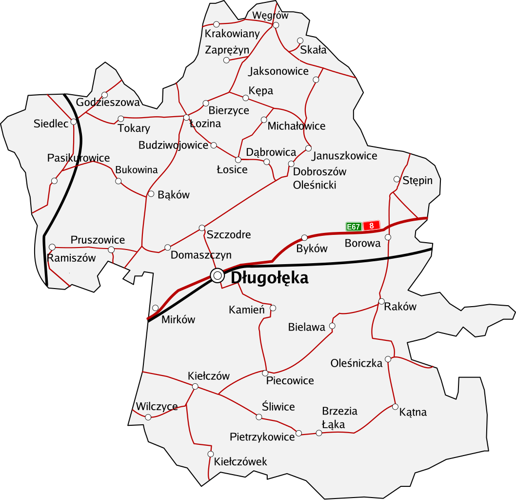
Polski: Mapa Gminy Długołęka. Wszystkie miejscowości, główne drogi i kolej. Aktualność ~ 2005/2006 |
| Source | Own work |
| Author | Bandurr |
Licensing[edit]
| I, the copyright holder of this work, release this work into the public domain. This applies worldwide. In some countries this may not be legally possible; if so: I grant anyone the right to use this work for any purpose, without any conditions, unless such conditions are required by law. |
File history
Click on a date/time to view the file as it appeared at that time.
| Date/Time | Thumbnail | Dimensions | User | Comment | |
|---|---|---|---|---|---|
| current | 13:45, 23 June 2008 | | 627 × 607 (269 KB) | Bandurr (talk | contribs) | {{Information |Description= |Source= |Date= |Author= |Permission= |other_versions= }} |
| 10:43, 23 June 2008 |  | 627 × 607 (263 KB) | Bandurr (talk | contribs) | {{Information |Description= |Source= |Date= |Author= |Permission= |other_versions= }} | |
| 10:34, 23 June 2008 |  | 627 × 607 (60 KB) | Bandurr (talk | contribs) | {{Information |Description={{en|1=Map of en:Gmina Długołęka, Poland. All villages, main roads, railways.}} {{pl|1=Mapa Gminy Długołęka. Wszystkie miejscowości, główne drogi i kolej. Aktualność ~ 2005/2006}} | |
You cannot overwrite this file.
File usage on Commons
There are no pages that use this file.