File:Paris blank map.svg
Jump to navigation
Jump to search

Size of this PNG preview of this SVG file: 800 × 575 pixels. Other resolutions: 320 × 230 pixels | 640 × 460 pixels | 1,024 × 736 pixels | 1,280 × 920 pixels | 2,560 × 1,839 pixels | 1,030 × 740 pixels.
Original file (SVG file, nominally 1,030 × 740 pixels, file size: 24 KB)
Captions
Captions
Add a one-line explanation of what this file represents
| Description |
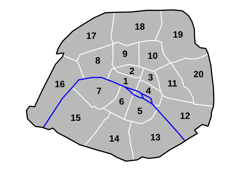
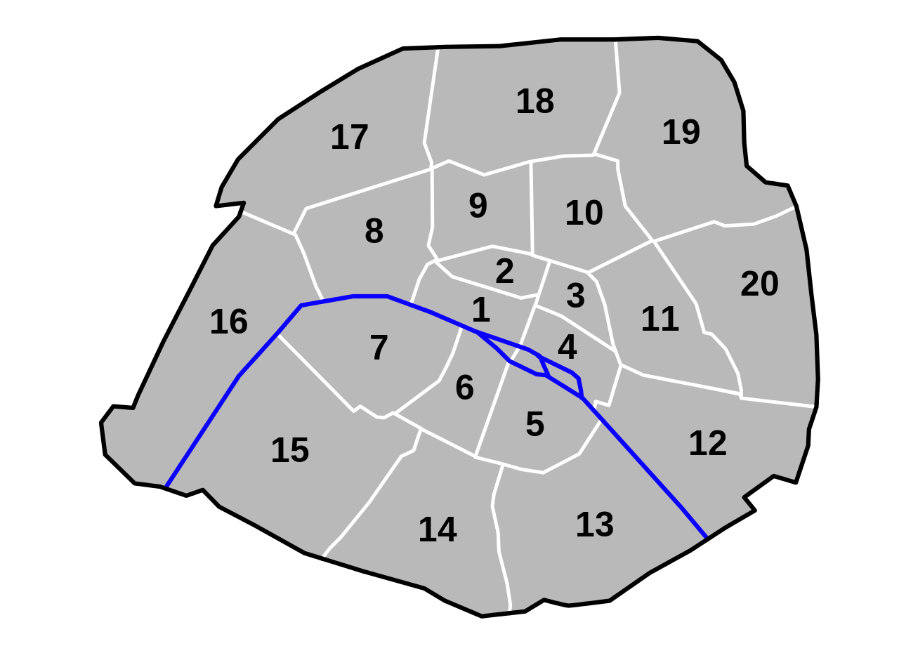
English: Blank svg map of Paris. Allows easy colouring of arrondissements using a text editor.
Français : Carte vierge de Paris. Permet de colorer facilement les arrondissements à l'aide d'un éditeur de texte. |
||||||||
| Date | |||||||||
| Source | Derivative of File:Paris-map-arr.svg | ||||||||
| Author | Original file: Thomas Steiner; derivative work: user:Pruneau | ||||||||
| Permission (Reusing this file) |
|

File history
Click on a date/time to view the file as it appeared at that time.
| Date/Time | Thumbnail | Dimensions | User | Comment | |
|---|---|---|---|---|---|
| current | 18:13, 10 February 2009 | | 1,030 × 740 (24 KB) | Pruneau (talk | contribs) | smaller file |
| 12:32, 10 February 2009 |  | 1,030 × 740 (35 KB) | Pruneau (talk | contribs) | Using classes instead of ids because of the Wikimedia renderer | |
| 18:46, 9 February 2009 |  | 1,030 × 740 (32 KB) | Pruneau (talk | contribs) | Version that actually works | |
| 18:10, 9 February 2009 |  | 1,030 × 740 (32 KB) | Pruneau (talk | contribs) | Making it easy to hide arrondissement numbers | |
| 18:04, 9 February 2009 |  | 1,030 × 740 (32 KB) | Pruneau (talk | contribs) | {{Information |Description={{en|Blank svg map of Paris. Allows easy colouring of arrondissements using a text editor.}} {{fr|Carte vierge de Paris. Permet de colorer facilement les arrondissements à l'aide d'un éditeur de texte.}} |Source=Derivative of |
You cannot overwrite this file.
File usage on Commons
There are no pages that use this file.
File usage on other wikis
The following other wikis use this file:
- Usage on de.wikipedia.org