File:Peta Topografi Kabupaten Tanah Laut.svg
Jump to navigation
Jump to search

Size of this PNG preview of this SVG file: 800 × 565 pixels. Other resolutions: 320 × 226 pixels | 640 × 452 pixels | 1,024 × 724 pixels | 1,280 × 905 pixels | 2,560 × 1,809 pixels | 1,054 × 745 pixels.
Original file (SVG file, nominally 1,054 × 745 pixels, file size: 3.54 MB)
Captions
Captions
Add a one-line explanation of what this file represents
Summary[edit]
| Title |
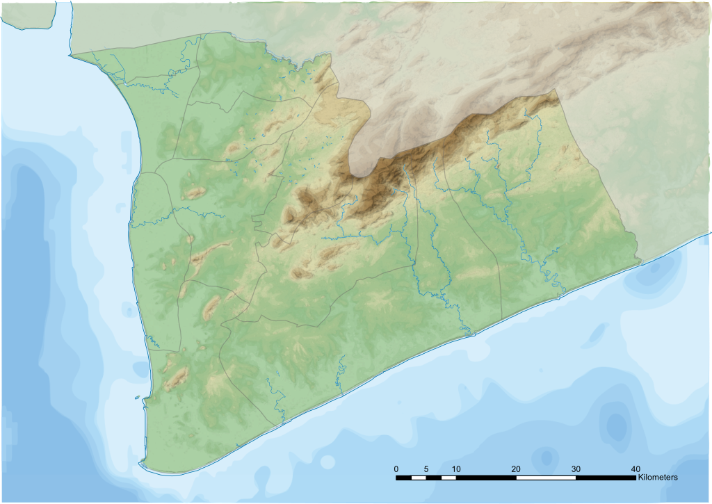
Bahasa Indonesia: Peta Topografi Kabupaten Tanah Laut |
|||||||||
| Description |
Bahasa Indonesia: Peta Topografi Kabupaten Tanah Laut Provinsi Kalimantan Selatan, Indonesia. |
|||||||||
| SVG development | This vector image was created with CorelDRAW. |
|||||||||
| Date | ||||||||||
| Source |
Own work
|
|||||||||
| Creator | ||||||||||
| Geotemporal data | ||||||||||
| Map location | Kabupaten Tanah Laut | |||||||||
| Map type | Topografi | |||||||||
| Scale | 1:400,000 | |||||||||
| Heading |
 |
|||||||||
| Bounding box |
|
|||||||||
| Other versions |
|
|||||||||


Licensing[edit]
I, the copyright holder of this work, hereby publish it under the following license:
This file is licensed under the Creative Commons Attribution-Share Alike 4.0 International license.
- You are free:
- to share – to copy, distribute and transmit the work
- to remix – to adapt the work
- Under the following conditions:
- attribution – You must give appropriate credit, provide a link to the license, and indicate if changes were made. You may do so in any reasonable manner, but not in any way that suggests the licensor endorses you or your use.
- share alike – If you remix, transform, or build upon the material, you must distribute your contributions under the same or compatible license as the original.
| Annotations | This image is annotated: View the annotations at Commons |
File history
Click on a date/time to view the file as it appeared at that time.
| Date/Time | Thumbnail | Dimensions | User | Comment | |
|---|---|---|---|---|---|
| current | 18:07, 15 March 2018 | | 1,054 × 745 (3.54 MB) | Nasrie (talk | contribs) | Decrease file size |
| 17:27, 13 March 2018 |  | 1,184 × 838 (11.91 MB) | Nasrie (talk | contribs) | User created page with UploadWizard |
You cannot overwrite this file.
File usage on Commons
The following 4 pages use this file:
File usage on other wikis
The following other wikis use this file:
- Usage on en.wikipedia.org
- Usage on fr.wikipedia.org
- Usage on id.wikipedia.org
- Usage on si.wikipedia.org
- Usage on uz.wikipedia.org
- Usage on www.wikidata.org