File:Plan du Port-Mahon - btv1b84406912.jpg
Jump to navigation
Jump to search

Size of this preview: 386 × 599 pixels. Other resolutions: 154 × 240 pixels | 309 × 480 pixels | 494 × 768 pixels | 659 × 1,024 pixels | 1,319 × 2,048 pixels | 4,137 × 6,425 pixels.
Original file (4,137 × 6,425 pixels, file size: 2.9 MB, MIME type: image/jpeg)
Captions
Captions
Add a one-line explanation of what this file represents
Summary[edit]
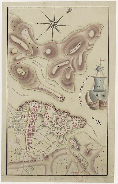
| Plan du Port-Mahon
( |
|||||||||||||||||||||||||||
|---|---|---|---|---|---|---|---|---|---|---|---|---|---|---|---|---|---|---|---|---|---|---|---|---|---|---|---|
| Title |
Plan du Port-Mahon |
||||||||||||||||||||||||||
| Description |
Français : Sujet : Sièges (art militaire)
Mahón -- Siège Couverture : Espagne – Îles Baléares Langue : français Éditeur : [s.n.] |
||||||||||||||||||||||||||
| Date | 1756 | ||||||||||||||||||||||||||
| Dimensions | height: 37 cm (14.5 in); width: 22 cm (8.6 in) | ||||||||||||||||||||||||||
| Collection |
|
||||||||||||||||||||||||||
| References |
Français : Notice du catalogue : http://catalogue.bnf.fr/ark:/12148/cb407298354 |
||||||||||||||||||||||||||
| Source/Photographer |
Français : Bibliothèque nationale de France, GED-1806
Bibliothèque nationale de France |
||||||||||||||||||||||||||
| Permission (Reusing this file) |
|
||||||||||||||||||||||||||

File history
Click on a date/time to view the file as it appeared at that time.
| Date/Time | Thumbnail | Dimensions | User | Comment | |
|---|---|---|---|---|---|
| current | 23:42, 23 July 2022 | | 4,137 × 6,425 (2.9 MB) | Gzen92Bot (talk | contribs) | Gallica btv1b84406912 |
You cannot overwrite this file.
File usage on Commons
The following page uses this file: