File:Remouillé Canton Communauté de communes locator map.svg

Original file (SVG file, nominally 426 × 316 pixels, file size: 45 KB)
Captions
Captions
Summary[edit]
| Description |
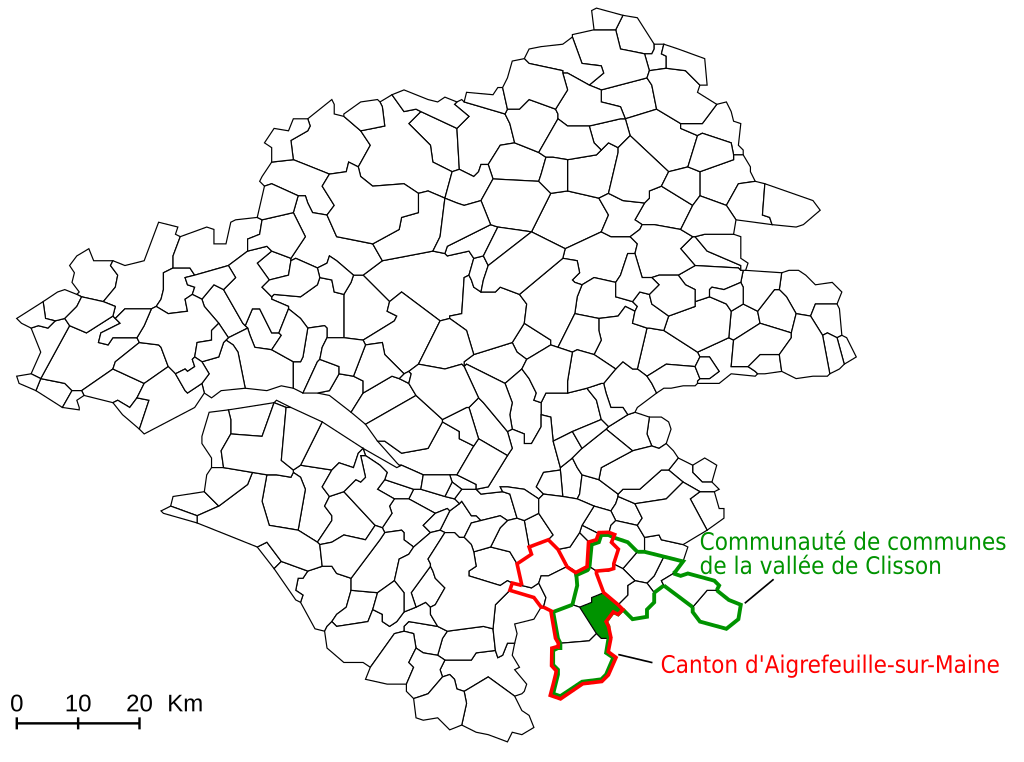
Français : Carte de localisation de la commune de Remouillé, montrant en rouge le canton, en vert la commune et la communauté de communes. English: Locator map for the commune of Remouillé inside the french département of Loire-Atlantique, with in red the canton, and in green the commune and communauté de communes. Deutsch: Karte zum Remouillé Español: Mappa de la ciudad Remouillé, con su canton en rubbio y su communauté de communes en verde.
|
||
| Date | (UTC) | ||
| Source | |||
| Author |
|
||
| SVG development | This locator map was created with Inkscape.
|
Licensing[edit]

|
This work is free software; you can redistribute it and/or modify it under the terms of the GNU General Public License as published by the Free Software Foundation; either version 2 of the License, or any later version. This work is distributed in the hope that it will be useful, but without any warranty; without even the implied warranty of merchantability or fitness for a particular purpose. See version 2 and version 3 of the GNU General Public License for more details. |
Original upload log[edit]
This image is a derivative work of the following images:
- File:Location Remouillé.svg licensed with GPL
- 2006-06-19T14:59:21Z Poulpy 400x320 (25576 Bytes) {{Information |Description=Locator map for the commune of Remouillé inside the french département of Loire-Atlantique |Source=Own work, based on [[:Image:Loire-Atlantique urban areas.svg]] |Date=06/19/2006 |Author=[[:fr:Use
Uploaded with derivativeFX
File history
Click on a date/time to view the file as it appeared at that time.
| Date/Time | Thumbnail | Dimensions | User | Comment | |
|---|---|---|---|---|---|
| current | 16:04, 29 January 2010 | | 426 × 316 (45 KB) | Bourrichon (talk | contribs) | -cadre |
| 15:59, 29 January 2010 |  | 426 × 316 (46 KB) | Bourrichon (talk | contribs) | {{Information |Description={{fr|Carte de localisation de la commune de Rémouillé, montrant en rouge le fr:canton, en vert la commune et la communauté de communes.}}{{en|Locator map for the commun |
You cannot overwrite this file.
File usage on Commons
There are no pages that use this file.
File usage on other wikis
The following other wikis use this file:
- Usage on fr.wikipedia.org