File:Seismicity map of the state of Ohio LOC 2016430212.jpg
Jump to navigation
Jump to search

Size of this preview: 800 × 531 pixels. Other resolutions: 320 × 212 pixels | 640 × 425 pixels | 1,024 × 680 pixels | 1,280 × 850 pixels | 2,560 × 1,700 pixels | 11,628 × 7,721 pixels.
Original file (11,628 × 7,721 pixels, file size: 8.61 MB, MIME type: image/jpeg)
Captions
Captions
Add a one-line explanation of what this file represents
Summary[edit]
| Warning | The original file is very high-resolution. It might not load properly or could cause your browser to freeze when opened at full size. |
|---|
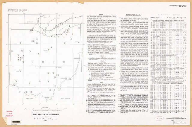
| Description |
English: Includes bibliographical references. Includes text and "Chronological listing of earthquakes for the State of Ohio." Available also through the Library of Congress Web site as a raster image. |
||
| Title | Seismicity map of the state of Ohio | ||
| Shelf ID | G4081.C55 1987 .G4 | ||
| Date | |||
| Source | https://www.loc.gov/item/2016430212/ | ||
| Author | Stover, Carl W; Geological Survey (U.S.); Algermissen, Sylvester Theodore; Reagor, G. | ||
| Permission (Reusing this file) |
|
||
| Other versions |
|
||
| Location | United States · Ohio | ||
| Part of | American Memory · General Maps · Catalog · Geography And Map Division | ||
| Subject | United States · Ohio · Earthquakes · Maps |


Licensing[edit]
| This work is from the Library of Congress. According to the library, there are no known copyright restrictions on the use of this work. |  |
File history
Click on a date/time to view the file as it appeared at that time.
| Date/Time | Thumbnail | Dimensions | User | Comment | |
|---|---|---|---|---|---|
| current | 19:29, 1 May 2020 | | 11,628 × 7,721 (8.61 MB) | Fæ (talk | contribs) | LOC Maps https://www.loc.gov/item/2016430212/ #11328 |
You cannot overwrite this file.
File usage on Commons
The following page uses this file: