File:Smokyhillaaf-08171991.jpg
Jump to navigation
Jump to search
Size of this preview: 461 × 599 pixels. Other resolutions: 184 × 240 pixels | 369 × 480 pixels | 1,000 × 1,300 pixels.
Original file (1,000 × 1,300 pixels, file size: 268 KB, MIME type: image/jpeg)
Captions
Captions
Add a one-line explanation of what this file represents
Summary
[edit]
| Description |
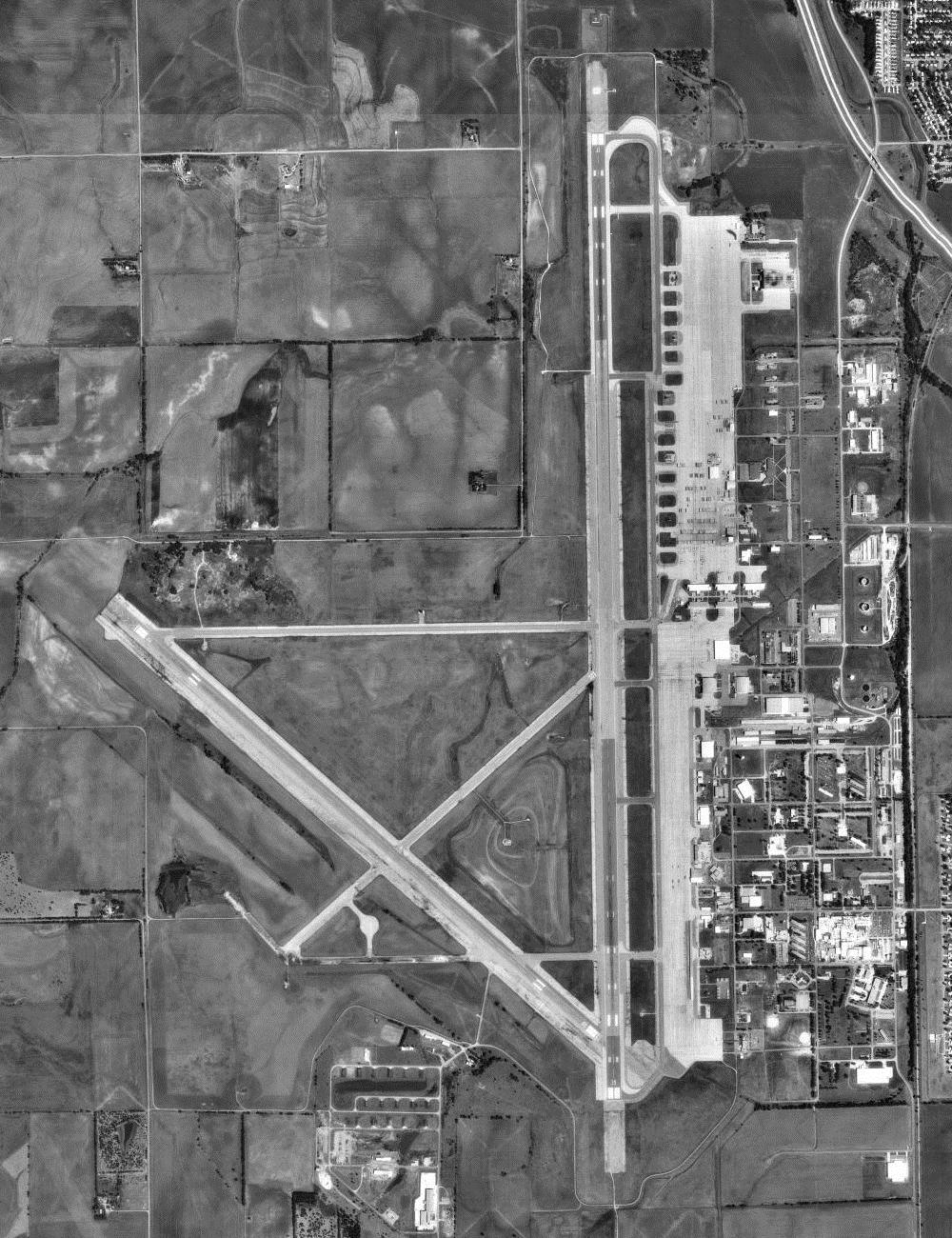
English: USGS orthophoto of Salina Municipal Airport, formerly Schilling Air Force Base and Smoky Hill Air Force Base, in Kansas, United States |
| Date | |
| Source |
USGS The National Map, via MSR Maps (formerly TerraServer-USA) |
| Author | United States Geological Survey (USGS) |
| Permission (Reusing this file) |
Public domain |
| Object location | | View this and other nearby images on: OpenStreetMap |
|---|
Licensing
[edit]
This image is in the public domain in the United States because it only contains materials that originally came from the United States Geological Survey, an agency of the United States Department of the Interior. For more information, see the official USGS copyright policy.
|
Original upload log
[edit]
The original description page was here. All following user names refer to en.wikipedia.
- 2007-12-13 11:43 Bwmoll3 400×475×8 (65598 bytes) Smoky Hill AFB, Kansas 17 August 1991 Source: United States Geological Survey digital orthophotoquad via TerraService WebMap Server
File history
Click on a date/time to view the file as it appeared at that time.
| Date/Time | Thumbnail | Dimensions | User | Comment | |
|---|---|---|---|---|---|
| current | 18:59, 15 July 2012 | | 1,000 × 1,300 (268 KB) | Zyxw (talk | contribs) | higher resolution |
| 10:41, 13 March 2008 |  | 400 × 475 (64 KB) | File Upload Bot (Magnus Manske) (talk | contribs) | {{BotMoveToCommons|en.wikipedia}} {{Information |Description={{en|Smoky Hill AFB, Kansas 17 August 1991 Source: United States Geological Survey digital orthophotoquad via TerraService WebMap Server}} |Source=Transferred from [http://en.wikipedia.org en. |
You cannot overwrite this file.
File usage on Commons
There are no pages that use this file.
File usage on other wikis
The following other wikis use this file:
- Usage on ceb.wikipedia.org
- Usage on de.wikipedia.org
- Usage on en.wikipedia.org
- Usage on fa.wikipedia.org
- Usage on ro.wikipedia.org
- Usage on tg.wikipedia.org
- Usage on ur.wikipedia.org
- Usage on www.wikidata.org