File:Somalia-CIA WFB Map (2004).png
Jump to navigation
Jump to search
No higher resolution available.
Somalia-CIA_WFB_Map_(2004).png (330 × 355 pixels, file size: 9 KB, MIME type: image/png)
Captions
Captions
Add a one-line explanation of what this file represents
Licensing[edit]
| Description |
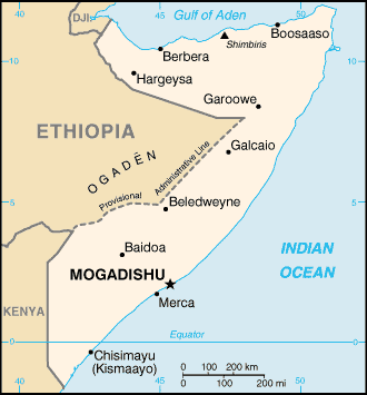
English: Map of Somalia, showing major towns. |
|||
| Date | ||||
| Source | CIA, The World Factbook, 2004 (internet version) | |||
| Author | CIA | |||
| Permission (Reusing this file) |
|

.png&action=edit§ion=1)
File history
Click on a date/time to view the file as it appeared at that time.
| Date/Time | Thumbnail | Dimensions | User | Comment | |
|---|---|---|---|---|---|
| current | 04:22, 10 March 2007 | | 330 × 355 (9 KB) | Spangineer (talk | contribs) | {{Original|Image:Kazakhstan-CIA WFB Map.png|2004 version}} {{CIA-map}} |
You cannot overwrite this file.
File usage on Commons
There are no pages that use this file.
File usage on other wikis
The following other wikis use this file:
- Usage on ar.wikipedia.org
- Usage on en.wikipedia.org
- Usage on gom.wikipedia.org
- Usage on nl.wikipedia.org
- Usage on so.wikipedia.org
.png&oldid=447891889)