File:South Africa districts 2016 blank.svg
(Redirected from File:South Africa districts blank.svg)

Size of this PNG preview of this SVG file: 684 × 599 pixels. Other resolutions: 274 × 240 pixels | 548 × 480 pixels | 876 × 768 pixels | 1,168 × 1,024 pixels | 2,337 × 2,048 pixels | 809 × 709 pixels.
Original file (SVG file, nominally 809 × 709 pixels, file size: 1.21 MB)
Captions
Captions
Add a one-line explanation of what this file represents
Summary[edit]
| Description |
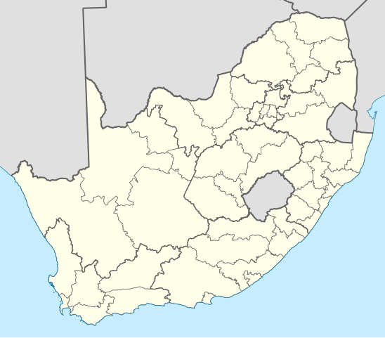
English: Map showing the borders of the districts of South Africa at the time of the 2016 local elections. |
| Date | |
| Source | Own work, based on official district boundary data from the Municipal Demarcation Board. |
| Author | Htonl |
| Other versions | File:South Africa districts 2006 blank.svg, File:South Africa districts 2009 blank.svg, File:South Africa districts 2011 blank.svg |
Licensing[edit]
| I, the copyright holder of this work, release this work into the public domain. This applies worldwide. In some countries this may not be legally possible; if so: I grant anyone the right to use this work for any purpose, without any conditions, unless such conditions are required by law. |
File history
Click on a date/time to view the file as it appeared at that time.
| Date/Time | Thumbnail | Dimensions | User | Comment | |
|---|---|---|---|---|---|
| current | 23:56, 17 August 2016 | | 809 × 709 (1.21 MB) | Htonl (talk | contribs) | == {{int:filedesc}} == {{Information |Description={{en|1=Map showing the borders of the districts of South Africa at the time of the 2016 local elections.}} |Source=Own work, based on official district boundary data from the [[w:Municipal Demarcation B... |
You cannot overwrite this file.
File usage on Commons
The following 2 pages use this file:
File usage on other wikis
The following other wikis use this file:
- Usage on de.wikipedia.org
- Usage on en.wikipedia.org