File:USFederalRegions.svg
Jump to navigation
Jump to search

Size of this PNG preview of this SVG file: 800 × 518 pixels. Other resolutions: 320 × 207 pixels | 640 × 414 pixels | 1,024 × 663 pixels | 1,280 × 828 pixels | 2,560 × 1,656 pixels | 1,530 × 990 pixels.
Original file (SVG file, nominally 1,530 × 990 pixels, file size: 194 KB)
Captions
Captions
Add a one-line explanation of what this file represents
Summary[edit]
| Description |
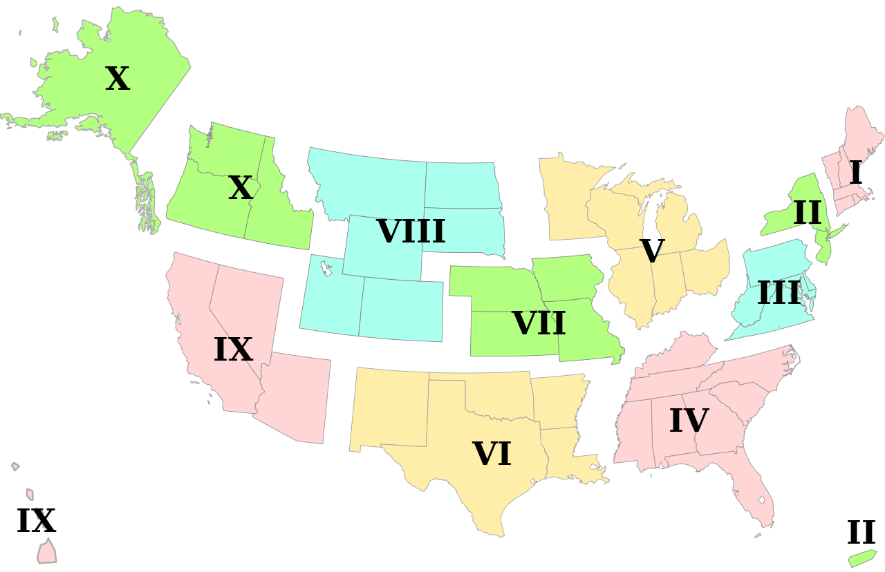
English: Vector version of federal regions based on File:Federal_Standard_Regions_map.png |
| Date | |
| Source | Own work |
| Author | Belg4mit |
| Other versions |
 |
Licensing[edit]
| I, the copyright holder of this work, release this work into the public domain. This applies worldwide. In some countries this may not be legally possible; if so: I grant anyone the right to use this work for any purpose, without any conditions, unless such conditions are required by law. |
File history
Click on a date/time to view the file as it appeared at that time.
| Date/Time | Thumbnail | Dimensions | User | Comment | |
|---|---|---|---|---|---|
| current | 20:17, 27 April 2010 | | 1,530 × 990 (194 KB) | Belg4mit (talk | contribs) | Minor tweaking for thumbnail display, and label grouping |
| 20:02, 27 April 2010 |  | 1,530 × 990 (192 KB) | Belg4mit (talk | contribs) | larger font, fainter outlines, shifted continental US upwards Category:Maps Category:United States | |
| 19:39, 27 April 2010 |  | 1,530 × 990 (190 KB) | Belg4mit (talk | contribs) | {{Information |Description={{en|1=Vector version of federal regions based on http://en.wikipedia.org/wiki/File:Federal_Standard_Regions_map.png}} |Source={{own}} |Author=Belg4mit |Date=2010-04-27 |Permission= |other_versions=http://en.wi |
You cannot overwrite this file.
File usage on Commons
The following page uses this file:
File usage on other wikis
The following other wikis use this file:
- Usage on ar.wikipedia.org
- Usage on ast.wikipedia.org
- Usage on en.wikipedia.org
- Usage on es.wikipedia.org
- Usage on fr.wikipedia.org
- Usage on ja.wikipedia.org
- Usage on pt.wikipedia.org
- Usage on zh.wikipedia.org