File:USGS The National.jpg
Jump to navigation
Jump to search
No higher resolution available.
USGS_The_National.jpg (400 × 413 pixels, file size: 51 KB, MIME type: image/jpeg)
Captions
Captions
Add a one-line explanation of what this file represents
| Description |
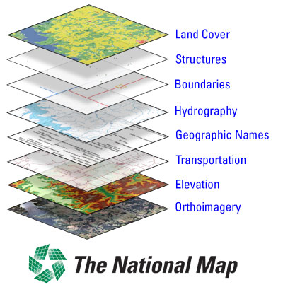
English: USGS The National Map |
|||
| Date | ||||
| Source |
USGS Center of Excellence for Geospatial Information Science (CEGIS) |
|||
| Author | United States Geological Survey | |||
| Permission (Reusing this file) |
|
|||
| Other versions |

File history
Click on a date/time to view the file as it appeared at that time.
| Date/Time | Thumbnail | Dimensions | User | Comment | |
|---|---|---|---|---|---|
| current | 22:51, 22 September 2019 | | 400 × 413 (51 KB) | Dcflyer (talk | contribs) | File:USGS The National Map.jpg cropped using CropTool with lossless mode. |
You cannot overwrite this file.
File usage on Commons
The following 3 pages use this file: