File:UT 103 in Ogden, 1954.PNG
Jump to navigation
Jump to search

No higher resolution available.
UT_103_in_Ogden,_1954.PNG (613 × 447 pixels, file size: 171 KB, MIME type: image/png)
Captions
Captions
Add a one-line explanation of what this file represents
Summary[edit]
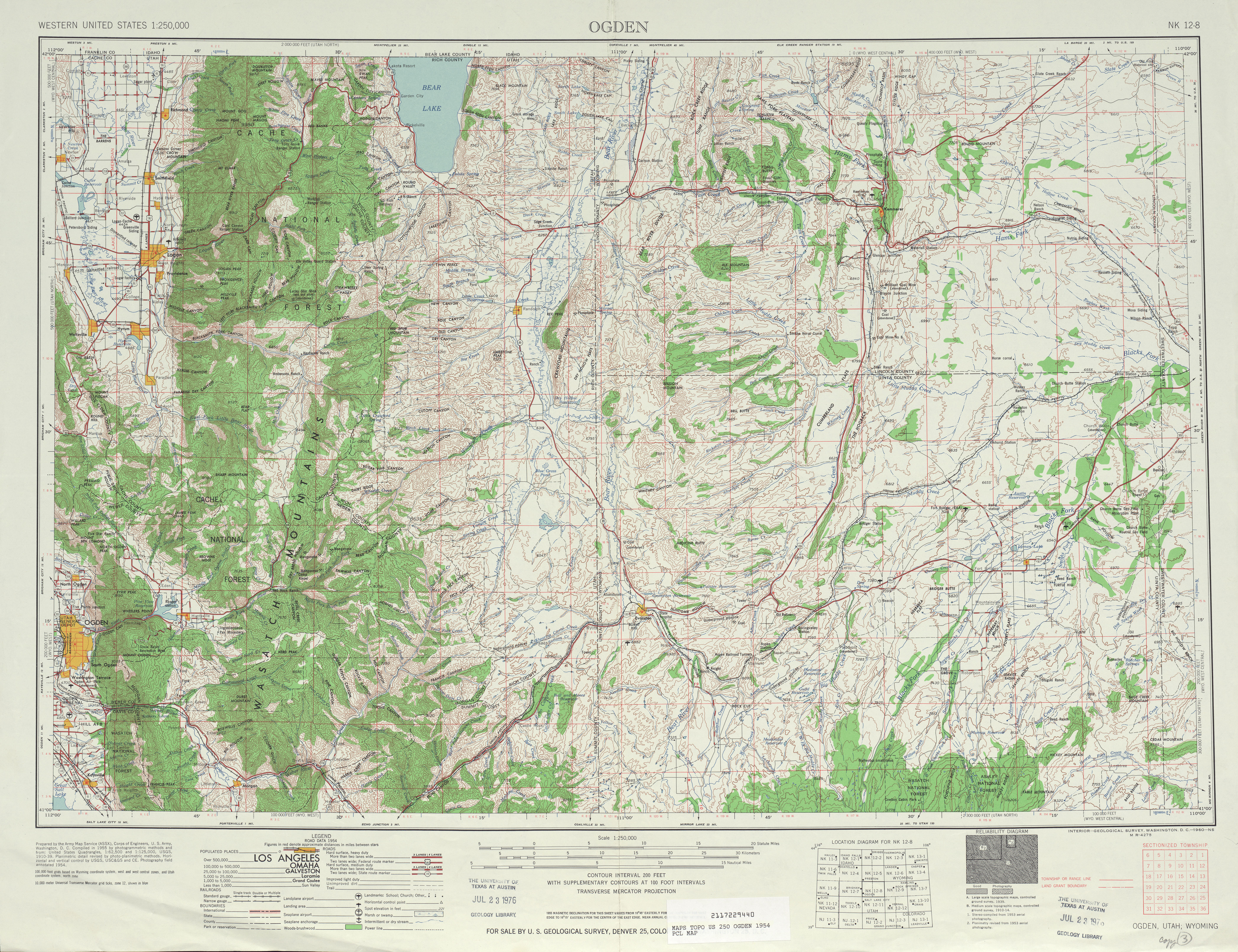
| Description | A cropped and zoomed in version of a 1954 1:250,000 quadrangle of Ogden, Utah and the original UT Route 103. | |||
| Date | ||||
| Source | 1954 Ogden Topo | |||
| Author | United States Army Map Service, Army Corps of Engineers | |||
| Permission (Reusing this file) |
|
File history
Click on a date/time to view the file as it appeared at that time.
| Date/Time | Thumbnail | Dimensions | User | Comment | |
|---|---|---|---|---|---|
| current | 23:36, 13 June 2009 | | 613 × 447 (171 KB) | Mitchazenia (talk | contribs) | {{Information |Description= A cropped and zoomed in version of a 1954 1:250,000 quadrangle of Ogden, Utah and the original UT Route 103. |Source=[http://www.lib.utexas.edu/maps/topo/250k/txu-pclmaps-topo-us-ogden-1954.jpg 1954 Ogden Topo] |Date=1954 |Auth |
You cannot overwrite this file.
File usage on Commons
There are no pages that use this file.
File usage on other wikis
The following other wikis use this file: