File:Warwickshire outline map with UK.png
Jump to navigation
Jump to search
Size of this preview: 504 × 600 pixels. Other resolutions: 202 × 240 pixels | 600 × 714 pixels.
Original file (600 × 714 pixels, file size: 374 KB, MIME type: image/png)
Captions
Captions
Add a one-line explanation of what this file represents

|
This locator map image could be re-created using vector graphics as an SVG file. This has several advantages; see Commons:Media for cleanup for more information. If an SVG form of this image is available, please upload it and afterwards replace this template with
{{vector version available|new image name}}.
It is recommended to name the SVG file “Warwickshire outline map with UK.svg”—then the template Vector version available (or Vva) does not need the new image name parameter. |
Summary[edit]
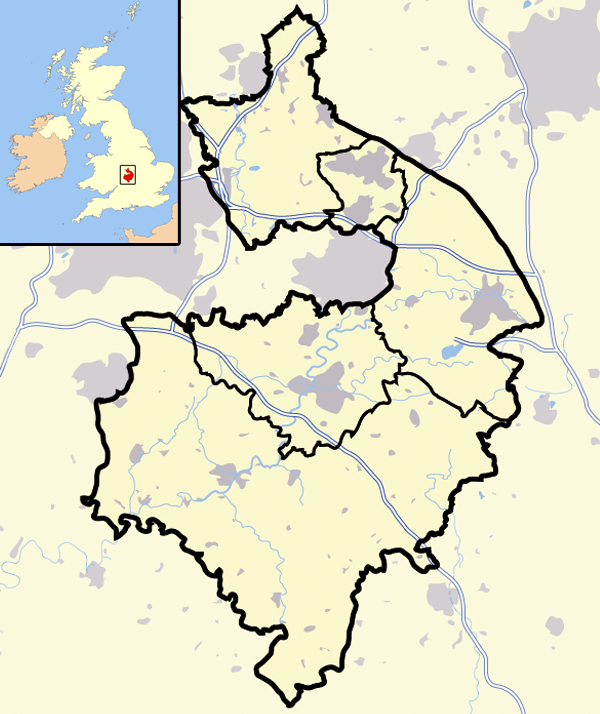
| Description | A map of the county of Warwickshire, England, United Kingdom | ||
| Date | |||
| Source | Own work | ||
| Author | Jhamez84 | ||
| Permission (Reusing this file) |
|
File history
Click on a date/time to view the file as it appeared at that time.
| Date/Time | Thumbnail | Dimensions | User | Comment | |
|---|---|---|---|---|---|
| current | 02:28, 16 August 2007 | | 600 × 714 (374 KB) | Jza84 (talk | contribs) | {{Information |Description=A map of the county of Warwickshire, England, United Kingdom |Source=self-made |Date=August 2007 |Author= Jhamez84 }} |
You cannot overwrite this file.
File usage on Commons
There are no pages that use this file.
File usage on other wikis
The following other wikis use this file:
- Usage on en.wikipedia.org
- Usage on uk.wikipedia.org