File:Wikiekspedycja trasa Bory Tucholskie.png
Jump to navigation
Jump to search
Size of this preview: 375 × 600 pixels. Other resolutions: 150 × 240 pixels | 500 × 800 pixels.
Original file (500 × 800 pixels, file size: 207 KB, MIME type: image/png)
Captions
Captions
Add a one-line explanation of what this file represents
| Description |
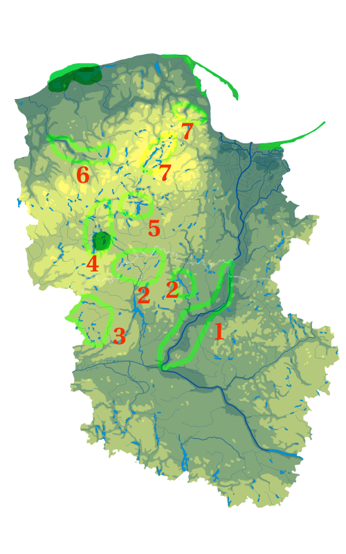
Polski: Mapa wód i ukształtowania powierzchni województwa pomorskiego. Autor: Aotearoa == Legenda ==
 Polski: Mapa wód i ukształtowania powierzchni województwa kujawsko-pomorskiego. Autor: Aotearoa == Legenda == |
| Date | (UTC) |
| Source | |
| Author |
|
| Other versions | Derivative works of this file: Wikiekspedycja trasa Bory Tucholskie 2.png |
| This is a retouched picture, which means that it has been digitally altered from its original version. Modifications: mix. The original can be viewed here: Kujawsko-pomorskie mapa fizyczna.png:
|

|
Permission is granted to copy, distribute and/or modify this document under the terms of the GNU Free Documentation License, Version 1.2 or any later version published by the Free Software Foundation; with no Invariant Sections, no Front-Cover Texts, and no Back-Cover Texts. A copy of the license is included in the section entitled GNU Free Documentation License. |
| This file is licensed under the Creative Commons Attribution-Share Alike 3.0 Unported license. | ||
| ||
| This licensing tag was added to this file as part of the GFDL licensing update. |
Original upload log[edit]
This image is a derivative work of the following images:
- File:Pomorskie_mapa_fizyczna.png licensed with GFDL, GFDL/pl
- 2009-11-12T10:07:48Z Przykuta 471x363 (99032 Bytes) {{Information |Description={{pl|1=Mapa wód i ukształtowania powierzchni województwa pomorskiego. Autor: [[:pl:Wikipedysta:Aotearoa|Aotearoa]] == Legenda == [[:pl:Grafika:Polish hypsometrical scale.svg|75px]]}} |Source=Trans
- File:Kujawsko-pomorskie_mapa_fizyczna.png licensed with Cc-by-sa-3.0-migrated, GFDL
- 2008-08-15T01:33:42Z Bonas 411x394 (80129 Bytes) {{Information |Description={{pl|1=Mapa wód i ukształtowania powierzchni województwa kujawsko-pomorskiego. Autor: [[:pl:Wikipedysta:Aotearoa|Aotearoa]] == Legenda == [[:pl:Grafika:Polish hypsometrical scale.svg|75px]]}} |Sou
Uploaded with derivativeFX
File history
Click on a date/time to view the file as it appeared at that time.
| Date/Time | Thumbnail | Dimensions | User | Comment | |
|---|---|---|---|---|---|
| current | 10:52, 12 November 2009 | | 500 × 800 (207 KB) | Przykuta (talk | contribs) | {{Information |Description={{pl|Mapa wód i ukształtowania powierzchni województwa pomorskiego. Autor: Aotearoa == Legenda == 75px}} {{pl|Mapa wód i ukształtowania powierzchni wojew |
You cannot overwrite this file.
File usage on Commons
The following page uses this file:
File usage on other wikis
The following other wikis use this file:
- Usage on pl.wikimedia.org