File:Winfield Toll Bridge.jpg
Jump to navigation
Jump to search
Size of this preview: 800 × 532 pixels. Other resolutions: 320 × 213 pixels | 640 × 426 pixels | 1,024 × 681 pixels | 1,280 × 851 pixels | 2,560 × 1,702 pixels | 6,016 × 4,000 pixels.
Original file (6,016 × 4,000 pixels, file size: 7.22 MB, MIME type: image/jpeg)
Captions
Captions
Add a one-line explanation of what this file represents
|
This is an image of a place or building that is listed on the National Register of Historic Places in the United States of America. Its reference number is 11000931. |
| Camera location | | View this and other nearby images on: OpenStreetMap |
|---|
| Description |
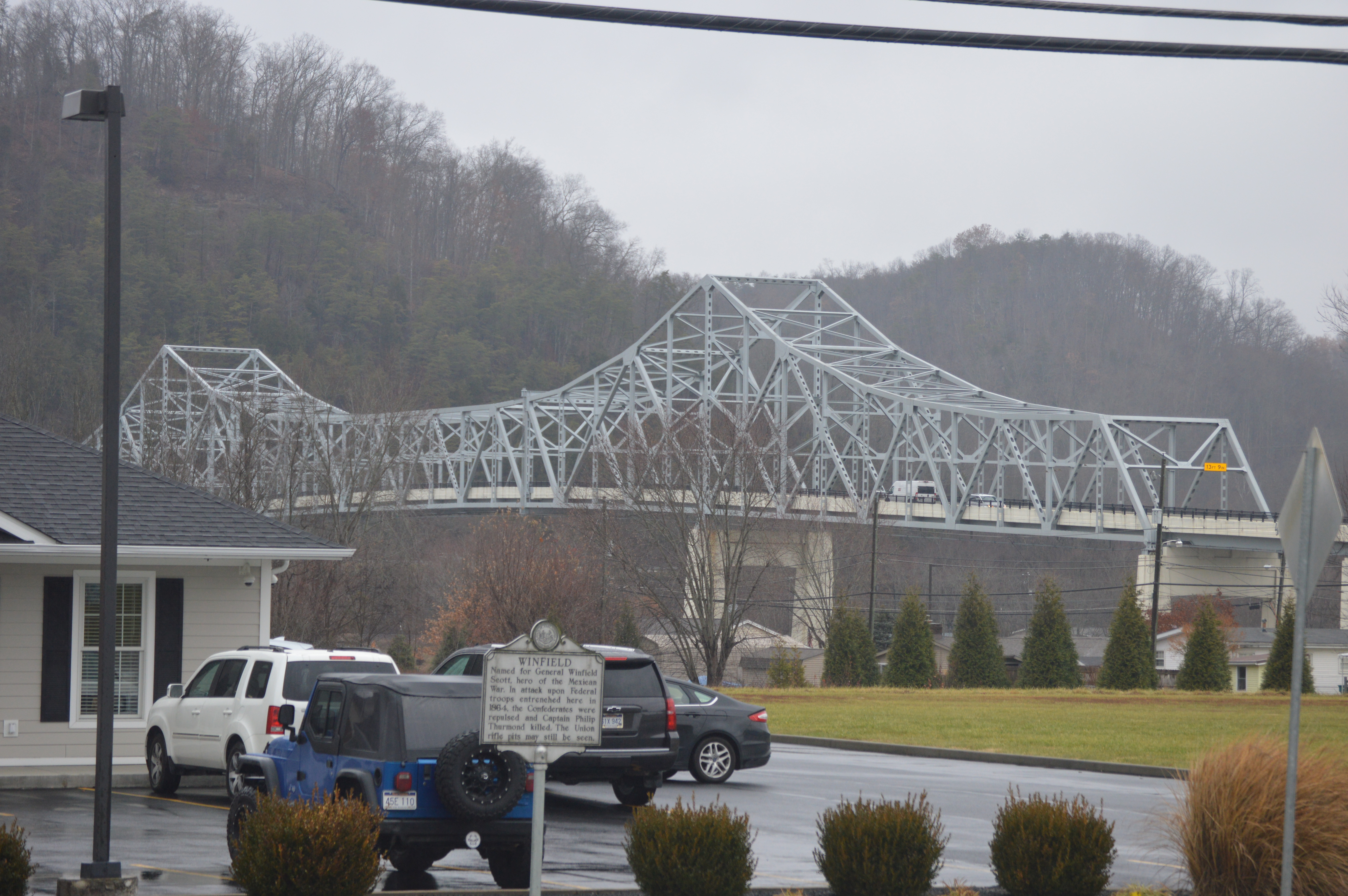
English: Distant view from the south of the Winfield Toll Bridge, which carries West Virginia Route 34 over the Kanawha River at Winfield, West Virginia, United States. Built in 1955, it is listed on the National Register of Historic Places. |
||
| Date | Taken on 2 December 2019 | ||
| Source | Self-photographed | ||
| Author | Nyttend | ||
| Permission (Reusing this file) |
|
||
| Other versions | None |
File history
Click on a date/time to view the file as it appeared at that time.
| Date/Time | Thumbnail | Dimensions | User | Comment | |
|---|---|---|---|---|---|
| current | 02:28, 6 February 2020 | | 6,016 × 4,000 (7.22 MB) | Nyttend (talk | contribs) |
You cannot overwrite this file.
File usage on Commons
There are no pages that use this file.
File usage on other wikis
The following other wikis use this file:
- Usage on en.wikipedia.org
- Usage on www.wikidata.org
Metadata
Categories:
- Built in West Virginia in 1955
- Bridges in the United States completed in 1955
- 1950s bridges in West Virginia
- Former toll bridges in the United States
- Historical markers in West Virginia
- Crossings of the Kanawha River
- National Register of Historic Places in Putnam County, West Virginia
- Through truss bridges in West Virginia
- West Virginia Route 34
- Winfield, West Virginia
- Bridges on the National Register of Historic Places in West Virginia