File:Yingchuan.png
Jump to navigation
Jump to search
Size of this preview: 800 × 484 pixels. Other resolutions: 320 × 194 pixels | 640 × 387 pixels | 1,202 × 727 pixels.
Original file (1,202 × 727 pixels, file size: 698 KB, MIME type: image/png)
Captions
Captions
Add a one-line explanation of what this file represents
Summary[edit]
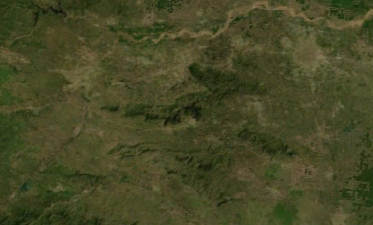
A NASA satellite photo showing the southern area of Henan. It is centered around the ancient city of Yingchuan (now known as Yuzhou.
Licensing[edit]
| This file is in the public domain in the United States because it was solely created by NASA. NASA copyright policy states that "NASA material is not protected by copyright unless noted". (See Template:PD-USGov, NASA copyright policy page or JPL Image Use Policy.) | ||
 |
Warnings:
|
File history
Click on a date/time to view the file as it appeared at that time.
| Date/Time | Thumbnail | Dimensions | User | Comment | |
|---|---|---|---|---|---|
| current | 08:41, 19 August 2007 | | 1,202 × 727 (698 KB) | A-cai (talk | contribs) | == Summary == A NASA satellite photo showing the southern area of w:Henan. It is centered around the ancient city of Yingchuan (now known as w:Yuzhou. == Licensing == {{PD-USGov-NASA}} |
You cannot overwrite this file.
File usage on Commons
There are no pages that use this file.
File usage on other wikis
The following other wikis use this file:
- Usage on en.wikisource.org