File:LocationIndianOcean.png
(Redirigé depuis File:800px-LocationIndianOcean.png)
Taille de cet aperçu : 800 × 405 pixels. Autres résolutions : 320 × 162 pixels | 640 × 324 pixels | 1 024 × 519 pixels | 1 280 × 648 pixels | 2 760 × 1 398 pixels.
Fichier d’origine (2 760 × 1 398 pixels, taille du fichier : 91 kio, type MIME : image/png)
Légendes
Légendes
Ajoutez en une ligne la description de ce que représente ce fichier
Description[modifier]
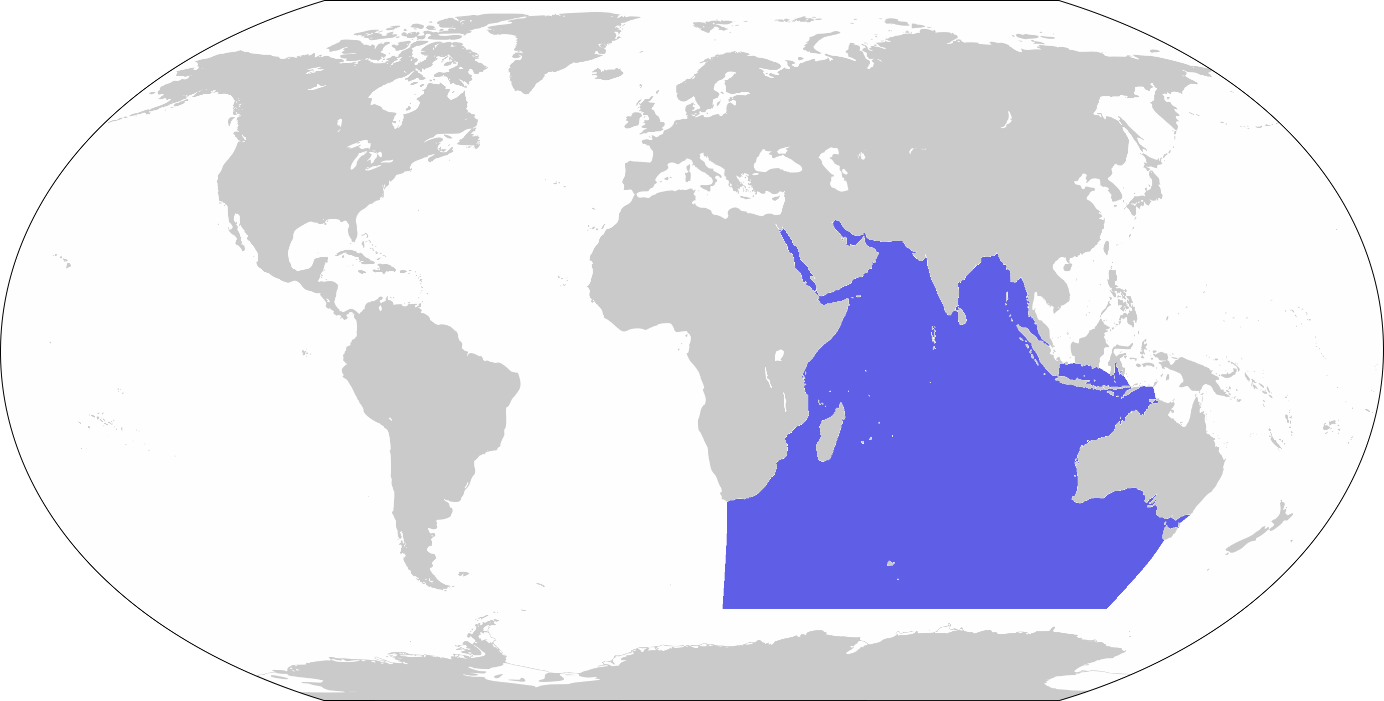
| Description | World map depicting Indian Ocean; map adapted from PDF World map at CIA World Fact Book |
| Date | |
| Source | 800px-LocationBlank.png |
| Auteur | user:Xfigpower |
Conditions d’utilisation[modifier]
Cette image est dans le domaine public parce que son contenu provient du World Factbook, édité par la Central Intelligence Agency des États-Unis d’Amérique.
|
 |
Historique du fichier
Cliquer sur une date et heure pour voir le fichier tel qu'il était à ce moment-là.
| Date et heure | Vignette | Dimensions | Utilisateur | Commentaire | |
|---|---|---|---|---|---|
| actuel | 27 mars 2019 à 10:39 | | 2 760 × 1 398 (91 kio) | Lasunncty (d | contributions) | Higher resolution and more accurate boundaries |
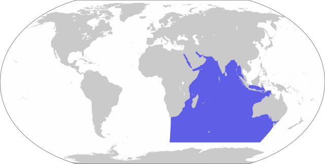
| 30 novembre 2006 à 13:56 |  | 800 × 407 (72 kio) | Xfigpower (d | contributions) | {{Information |Description=World map depicting Indian Ocean; map adapted from PDF World map at CIA World Fact Book |Source=800px-LocationBlank.png |Date=2006-11-30 |Author=user:Xfigpower |Permission |
Vous ne pouvez pas remplacer ce fichier.
Utilisations locales du fichier
Les 3 pages suivantes utilisent ce fichier :
- User:DieBuche/resized3
- File:800px-LocationIndianOcean.png (redirection de fichier)
Utilisations du fichier sur d’autres wikis
Les autres wikis suivants utilisent ce fichier :
- Utilisation sur an.wikipedia.org
- Utilisation sur ar.wikipedia.org
- جزر القمر
- مضيق هرمز
- الخليج العربي
- سريلانكا
- المحيط الهندي
- زلزال وتسونامي المحيط الهندي 2004
- المحيط الهادئ
- قناة السويس
- تصنيف:جزر القمر
- نياس
- المالديف
- سيشل
- مدغشقر
- موريشيوس
- بنط
- شبه الجزيرة العربية
- تصنيف:موريشيوس
- بحر العرب
- باس (مضيق)
- البحر الأحمر
- برنيس
- سفاجا
- ماليه
- باب المندب
- خليج العقبة
- خليج السويس
- بوبيان
- جسر الملك فهد
- فيلكا
- اللؤلؤة قطر
- مومباسا
- مايوت
- تيران (مضيق)
- معركة ديو
- بالي
- الحلانيات (جزر)
- زلزال سومطرة 2005
- تصنيف:مدغشقر
- مقديشو
- جاوة
- بورتسودان
- حادث عبارة السلام 98
- المحيط المتجمد الشمالي
- خليج عدن
- القرن الإفريقي
- سترة (البحرين)
- سومطرة
- المحيط المتجمد الجنوبي
Voir davantage sur l’utilisation globale de ce fichier.