File:US 209.svg
Jump to navigation
Jump to search

Size of this PNG preview of this SVG file: 750 × 600 pixels. Other resolutions: 300 × 240 pixels | 600 × 480 pixels | 960 × 768 pixels | 1,280 × 1,024 pixels | 2,560 × 2,048 pixels.
Original file (SVG file, nominally 750 × 600 pixels, file size: 8 KB)
Captions
Captions
Add a one-line explanation of what this file represents
Summary[edit]
| Description |
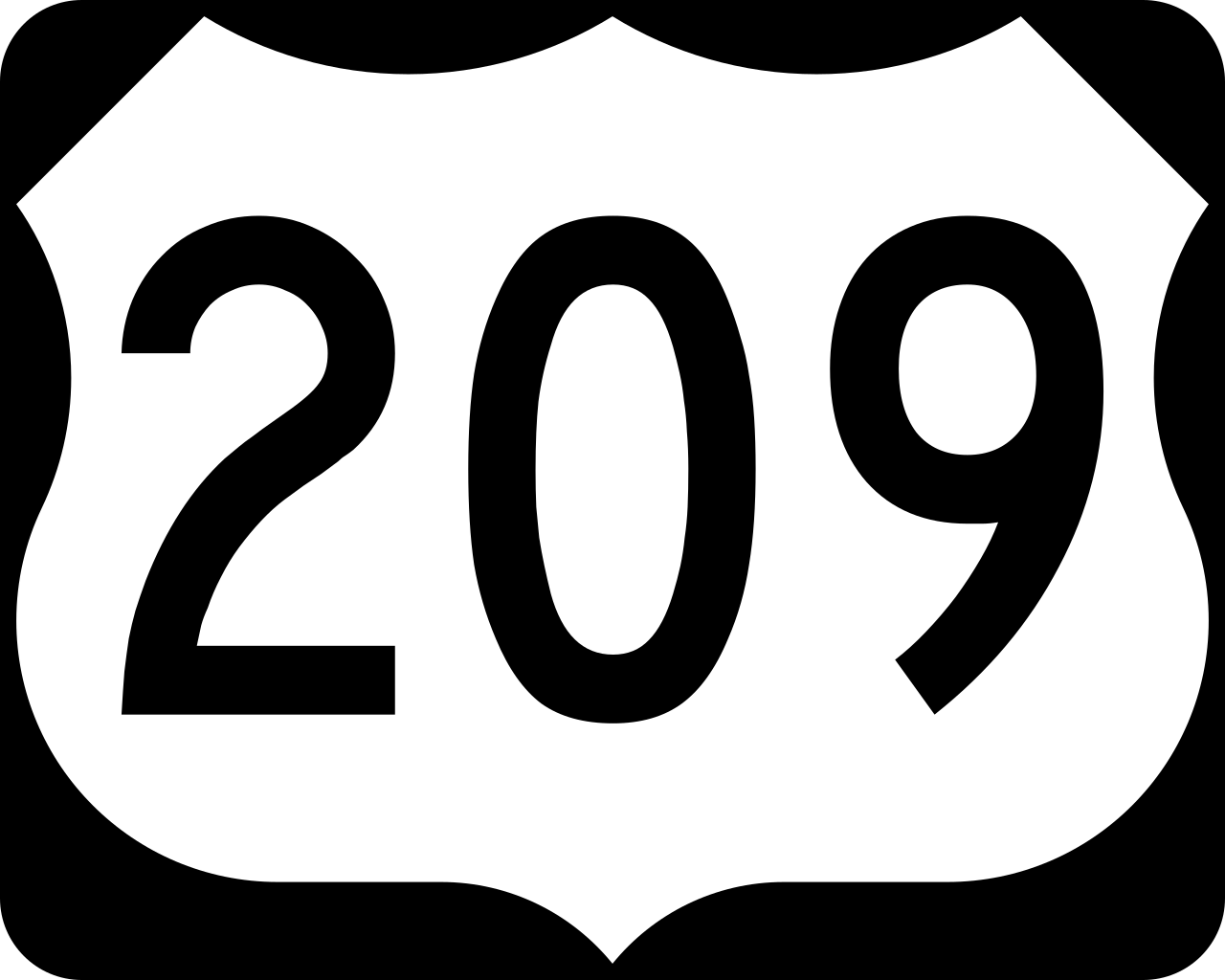
English: 750 mm × 600 mm (30 in × 24 in) U.S. Highway shield, made to the specifications of the 2004 edition of Standard Highway Signs. (Note that there is a missing "J" label on the left side of the diagram.) Uses the Roadgeek 2005 fonts. (United States law does not permit the copyrighting of typeface designs, and the fonts are meant to be copies of a U.S. Government-produced work anyway.) |
| Date | (UTC) |
| Source | 2004 MUTCD Standard Highway Signs |
| Author | Fredddie, originally SPUI |
Licensing[edit]
This file is in the public domain because it comes from the Manual on Uniform Traffic Control Devices, sign number M1-4, which states specifically on page I-1 that:
|
.svg) |
File history
Click on a date/time to view the file as it appeared at that time.
| Date/Time | Thumbnail | Dimensions | User | Comment | |
|---|---|---|---|---|---|
| current | 01:29, 26 August 2017 | | 750 × 600 (8 KB) | Fredddie (talk | contribs) | |
| 07:48, 27 January 2006 |  | 750 × 600 (5 KB) | SPUI~commonswiki (talk | contribs) | {{spuiother}} 750 mm by 600 mm (30 in by 24 in) U.S. Route shield, made to the specifications of the [http://mutcd.fhwa.dot.gov/SHSm/Guide.pdf 2004 edition of Standard Highway Signs]. (Note that there is a missing "J" label on the left side of the diagram |
You cannot overwrite this file.
File usage on Commons
The following 6 pages use this file:
File usage on other wikis
The following other wikis use this file:
- Usage on bg.wikipedia.org
- Usage on de.wikipedia.org
- Usage on en.wikipedia.org
- Interstate 80
- Schuylkill County, Pennsylvania
- Pike County, Pennsylvania
- Monroe County, Pennsylvania
- Dauphin County, Pennsylvania
- Carbon County, Pennsylvania
- List of United States Numbered Highways
- U.S. Route 206
- New York metropolitan area
- U.S. Route 6
- Interstate 84 (Pennsylvania–Massachusetts)
- Interstate 476
- Pennsylvania Route 61
- Pennsylvania Route 54
- Pennsylvania Route 309
- Pennsylvania Route 248
- Pennsylvania Route 191
- Old Mine Road
- Pennsylvania Route 611
- List of crossings of the Delaware River
- Interstate 80 in Pennsylvania
- Pennsylvania Route 115
- Pennsylvania Route 739
- User:Nyletak/New York Routes
- Wikipedia:WikiProject U.S. Roads/Redirects/Pennsylvania
- U.S. Route 6 in Pennsylvania
- Pennsylvania Route 715
- Pennsylvania Route 402
- Pennsylvania Route 901
- Pennsylvania Route 208
- Pennsylvania Route 25
- Pennsylvania Route 33
- Pennsylvania Route 93
- Wikipedia:WikiProject U.S. Roads/Redirects/New York
- Pennsylvania Route 443
- Harrisburg–Carlisle metropolitan statistical area
- Pennsylvania Route 147
- Interstate 81 in Pennsylvania
- U.S. Route 6 in New York
- List of highways numbered 209
- Pennsylvania Route 447
- List of crossings of the Neversink River
- User:Hmich176/User Page
- Mid-Delaware Bridge
- User:NE2/NY 52
View more global usage of this file.