File:Washington-Baltimore-Northern Virginia CSA, 2005.png
Aller à la navigation
Aller à la recherche
Taille de cet aperçu : 800 × 599 pixels. Autres résolutions : 320 × 239 pixels | 640 × 479 pixels | 953 × 713 pixels.
Fichier d’origine (953 × 713 pixels, taille du fichier : 130 kio, type MIME : image/png)
Légendes
Légendes
Ajoutez en une ligne la description de ce que représente ce fichier
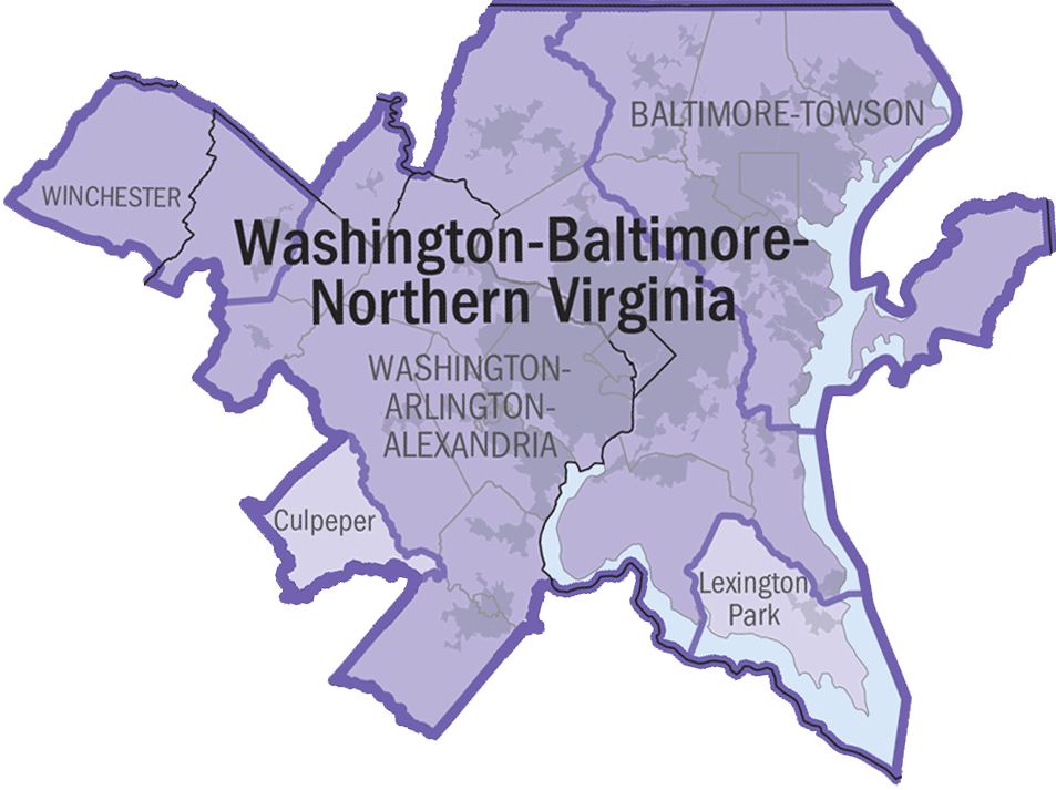
| Description | 2005 Washington-Baltimore-Northern Virginia Combined Statistical Area. | |||
| Date | ||||
| Source | https://www.census.gov/geo/www/maps/msa_maps2005/us_wall_1205.html | |||
| Auteur | Auteur inconnu | |||
| Autorisation (Réutilisation de ce fichier) |
|

Historique du fichier
Cliquer sur une date et heure pour voir le fichier tel qu'il était à ce moment-là.
| Date et heure | Vignette | Dimensions | Utilisateur | Commentaire | |
|---|---|---|---|---|---|
| actuel | 5 juillet 2006 à 20:49 | | 953 × 713 (130 kio) | Tom (d | contributions) | transparency |
| 5 juillet 2006 à 20:44 |  | 953 × 713 (129 kio) | Tom (d | contributions) | {{Information |Description=2005 Washington-Baltimore-Northern Virginia Combined Statistical Area. |Source=http://www.census.gov/geo/www/maps/msa_maps2005/us_wall_1205.html |Date=2005 |Author=N/A |Permission={{P |
Vous ne pouvez pas remplacer ce fichier.
Utilisations locales du fichier
Aucune page n’utilise ce fichier.
Utilisations du fichier sur d’autres wikis
Les autres wikis suivants utilisent ce fichier :
- Utilisation sur arz.wikipedia.org
- Utilisation sur en.wikipedia.org
- Utilisation sur fr.wikipedia.org
- Utilisation sur ja.wikipedia.org
- Utilisation sur pl.wikipedia.org
- Utilisation sur sk.wikipedia.org
- Utilisation sur vi.wikipedia.org