User:JsfasdF252/sandbox
Jump to navigation
Jump to search
[]
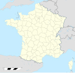
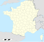
This file represents the boundaries of the French Departements as they were at a particular point in time. It should be used in areas such as history sections where the file should not change to match the latest version. Do not overwrite it with changes made later, instead upload it as a separate file and add it to the table below.
For areas which should always show the latest version, use the redirect (File:France location map-Departements.svg), which should be updated to point to the latest revision.


