File:Abandoned military building in Fort de la Chartreuse, Liege, Belgium (DSCF3339).jpg
Jump to navigation
Jump to search

Size of this preview: 800 × 569 pixels. Other resolutions: 320 × 227 pixels | 640 × 455 pixels | 1,024 × 728 pixels | 1,280 × 910 pixels | 2,560 × 1,820 pixels | 4,625 × 3,288 pixels.
Original file (4,625 × 3,288 pixels, file size: 8.27 MB, MIME type: image/jpeg)
Captions
Captions
Add a one-line explanation of what this file represents
Summary[edit]
| Description |
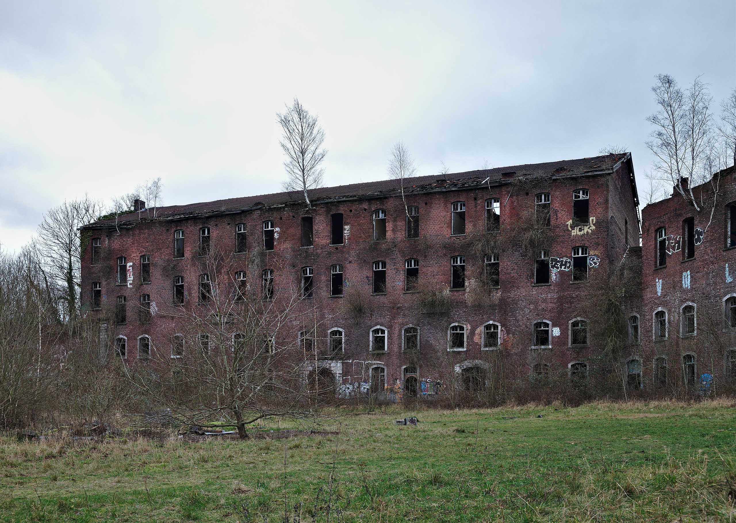
English: Abandoned military building in Fort de la Chartreuse, Liege, Belgium (DSCF3339) |
| Date | |
| Source | Own work |
| Author | Trougnouf |
| Other versions |
|
.jpg)
| Camera location | | View this and other nearby images on: OpenStreetMap |
|---|
Licensing[edit]
I, the copyright holder of this work, hereby publish it under the following license:
This file is licensed under the Creative Commons Attribution 4.0 International license.
- You are free:
- to share – to copy, distribute and transmit the work
- to remix – to adapt the work
- Under the following conditions:
- attribution – You must give appropriate credit, provide a link to the license, and indicate if changes were made. You may do so in any reasonable manner, but not in any way that suggests the licensor endorses you or your use.
This image has been assessed using the Quality image guidelines and is considered a Quality image.
|
| Annotations | This image is annotated: View the annotations at Commons |
.jpg)
.jpg)
.jpg&action=edit§ion=1)
.jpg¶ms=050.632022_N_0005.598500_E_globe:Earth_type:camera__&language=en)
.jpg&action=edit§ion=2)
.jpg)
File history
Click on a date/time to view the file as it appeared at that time.
| Date/Time | Thumbnail | Dimensions | User | Comment | |
|---|---|---|---|---|---|
| current | 00:28, 11 February 2018 | | 4,625 × 3,288 (8.27 MB) | Trougnouf (talk | contribs) | User created page with UploadWizard |
You cannot overwrite this file.
File usage on Commons
The following 8 pages use this file:
- User:Trougnouf/Doodling
- User talk:Trougnouf/Archive 2018 1
- Commons:Quality images/Subject/Architecture/Ruins/Archive 2018 to 2019
- Commons:Quality images candidates/Archives February 14 2018
- File:Abandoned military building in Fort de la Chartreuse, Liege, Belgium (DSCF3338).jpg
- File:Inside an abandoned military building in Fort de la Chartreuse, Liege, Belgium (DSCF3343).jpg
- File:Inside an abandoned military building in Fort de la Chartreuse, Liege, Belgium (DSCF3343).png
- File:Inside an abandoned military building in Fort de la Chartreuse, Liege, Belgium (DSCF3343-inpaint-crop).jpg
.png)
.jpg)
File usage on other wikis
The following other wikis use this file:
- Usage on de.wikipedia.org
- Usage on en.wikipedia.org
- Usage on fr.wikipedia.org
- Usage on zh.wikipedia.org
.jpg&oldid=848174865)