Category:Carrabassett Valley, Maine
Jump to navigation
Jump to search
town in Franklin County, Maine, United States | |||||
| Upload media | |||||
| Instance of | |||||
|---|---|---|---|---|---|
| Location | Franklin County, Maine | ||||
| Population |
| ||||
| Area |
| ||||
| Elevation above sea level |
| ||||
 | |||||
Media in category "Carrabassett Valley, Maine"
The following 10 files are in this category, out of 10 total.
-
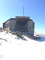 Abandonded Gondola Building.jpg 2,448 × 3,264; 1.1 MB
-
 Backside of Sugarloaf Mt - panoramio.jpg 2,048 × 1,536; 1.48 MB
-
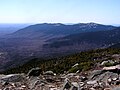
 Bigelow Mountain from top of Sugarloaf Mountain.JPG 2,271 × 852; 920 KB
-
 Carrabasset River.jpg 5,184 × 3,888; 5.9 MB
-
 Cranberry Peak Seen From Maine State Route 27.JPG 1,800 × 1,200; 638 KB
-
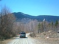
 Kingfield.JPG 3,000 × 2,250; 3.24 MB
-
 Mount Abraham from top of Sugarloaf.JPG 2,272 × 1,704; 1,007 KB
-
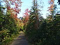 Narrowgaugetrail.jpg 5,184 × 3,888; 6.5 MB
-
 Sugarloaf Mountain (8072435857).jpg 3,456 × 2,304; 1.47 MB
-
 Sugarloaf Mountain Maine.jpg 4,032 × 3,024; 2.68 MB


.jpg)
