Category:Landgoed Beerschoten
Jump to navigation
Jump to search
| Object location | | View all coordinates using: OpenStreetMap |
|---|
 | |||||
| Upload media | |||||
| Instance of | |||||
|---|---|---|---|---|---|
| Location | De Bilt, Utrecht, Netherlands | ||||
| Street address |
| ||||
| Located on street |
| ||||
| Heritage designation |
| ||||
| Area |
| ||||
 | |||||
|
This is a category about rijksmonumentcomplex number 511395
|
Landhuis:
|
This is a category about rijksmonument number 511394
|
Historische aanleg:
|
This is a category about rijksmonument number 511396
|
Hekpijler:
|
This is a category about rijksmonument number 511397
|
IJskelder:
|
This is a category about rijksmonument number 511398
|
Brug:
|
This is a category about rijksmonument number 511399
|
Koetshuis:
|
This is a category about rijksmonument number 511400
|
Tuinmanswoning 'De koepel':
|
This is a category about rijksmonument number 511401
|
Woonhuis 'Klein beerschoten':
|
This is a category about rijksmonument number 511402
|
Het spinneweb:
|
This is a category about rijksmonument number 511403
|
Grenspalen:
|
This is a category about rijksmonument number 511404
|
Tuinmanswoning:
|
This is a category about rijksmonument number 511405
|
| Address |
|
Subcategories
This category has the following 5 subcategories, out of 5 total.
G
- Grenspalen aan de Holle Bilt (5 F)
H
- Het Spinneweb (2 F)
- Huis Beerschoten (13 F)
I
- IJskelder, Beerschoten (2 F)
Media in category "Landgoed Beerschoten"
The following 14 files are in this category, out of 14 total.
-
 Acacias.jpg 1,600 × 1,200; 92 KB
-
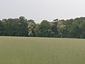
 Akker.jpg 1,600 × 1,200; 214 KB
-
 Beukenbos.jpg 1,248 × 936; 315 KB
-
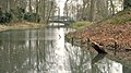 Boogbrug Beerschoten.jpg 1,024 × 576; 146 KB
-
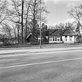
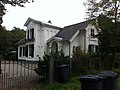 Klein Beerschoten.JPG 2,592 × 1,936; 1.75 MB
-

-
 Landhuis beerschoten.jpg 1,600 × 1,200; 298 KB
-
 Overzicht - De Bilt - 20035037 - RCE.jpg 1,191 × 1,200; 406 KB
-
 Overzicht - De Bilt - 20035038 - RCE.jpg 1,192 × 1,200; 413 KB
-
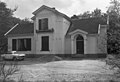 Overzicht diensthuis - De Bilt - 20035014 - RCE.jpg 1,200 × 820; 222 KB
-
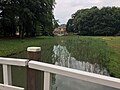
 Park - De Bilt - 20369547 - RCE.jpg 1,190 × 1,200; 363 KB
-

-
 Spechtenhotel.jpg 1,200 × 1,600; 425 KB
-
 Vissenkom.jpg 1,248 × 936; 318 KB


