Category:Linguistic maps
Salti al navigilo
Salti al serĉilo
English: Linguistic maps. Maps showing the distribution of languages in a region.
Català: Mapes lingüístics.

thematic map showing the geographical distribution of linguistic features and depicting regional linguistic distinctions, such as spatial dialect variation within a language | |||||
| Alŝuti plurmedion | |||||
| Subaro de | |||||
|---|---|---|---|---|---|
| Uzado |
| ||||
| |||||
Subkategorioj
Ĉi tiu kategorio havas la 19 jenajn subkategoriojn, el 19 entute.
Paĝoj en kategorio “Linguistic maps”
Ĉi tiu kategorio enhavas nur la jenan paĝon.
Dosieroj en kategorio “Linguistic maps”
La jenaj 24 dosieroj estas en ĉi tiu kategorio, el 24 entute.
-
 Adi Speakers Map.jpg 564 × 581; 53 KB
-
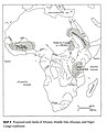 African languages and their place of origin - Christopher Ehret.jpg 646 × 800; 108 KB
-
 Alternative neo-native language of Iran.jpg 2 598 × 2 598; 724 KB
-
 Alveolar vs. uvular r in Hessian dialects.png 599 × 737; 182 KB
-
 CamelWanderwörter.png 4 096 × 4 096; 1,67 MB
-
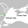 Crimean Tatar and Dobrujan Tatar.png 382 × 382; 48 KB
-
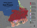 East Prussia Ethnic Map 1905.png 10 200 × 7 075; 9,23 MB
-
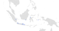 Indonesian Arabic map.png 3 264 × 1 733; 281 KB
-
 Jasinga-Sundanese-Map.jpg 4 096 × 2 052; 209 KB
-
 Kaart van etnische en taalkundige verspreiding op de Flores-eilanden.png 3 264 × 3 060; 842 KB
-
 Language difficulty ranking for English speakers.png 659 × 753; 118 KB
-
 Languages of Europe fi.svg 3 070 × 1 990; 871 KB
-
 Lushootseed area.png 2 095 × 2 159; 958 KB
-
 Map of Lamalera ethnic-speakers on Lembata Island (Indonesia).png 3 264 × 1 896; 166 KB
-
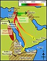 Origin of Afroasiatic (Egyptian Red Sea model 2009) and Semitic.jpg 462 × 589; 170 KB
-
 Percent of English speaking population.png 6 460 × 3 690; 2,51 MB
-
 Peta wilayah penggunaan bahasa Sunda di Kota Depok.jpg 4 096 × 2 894; 457 KB
-
 Primary Human Languages Improved Version ca.png 1 880 × 740; 171 KB
-
 Rough Map of German speaking countries and partitions.png 2 048 × 1 360; 92 KB
-
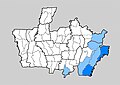
 Subdivisions of the Shanghai branch of Northern Wu.png 1 148 × 1 558; 200 KB
-
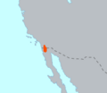 Tiipay Speakers Geography.png 224 × 195; 8 KB
-
 Toponimia de las entidades federativas de mexico.jpg 2 481 × 1 749; 997 KB
-
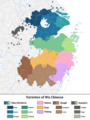 Varieties of of the Wu Chinese (English).png 1 800 × 2 400; 730 KB
-
 Карта хакасских (Сибирских) тюркских языков.png 2 300 × 1 850; 459 KB


.png)
_and_Semitic.jpg)


.png)
_%D1%82%D1%8E%D1%80%D0%BA%D1%81%D0%BA%D0%B8%D1%85_%D1%8F%D0%B7%D1%8B%D0%BA%D0%BE%D0%B2.png)