Category:White Pine County, Nevada
Sari la navigare
Sari la căutare
Counties of Nevada: Churchill · Clark · Douglas · Elko · Esmeralda · Eureka · Humboldt · Lander · Lincoln · Lyon · Mineral · Nye · Pershing · Storey · Washoe · White Pine ·Independent city: Carson City
comitat din Statele Unite ale Americii | |||||
| Încarcă multimedia | |||||
| Este un/o | |||||
|---|---|---|---|---|---|
| Numit(ă) după | |||||
| Locul actual | Nevada, SUA | ||||
| Capitală | |||||
| Înființare |
| ||||
| Populație |
| ||||
| Suprafață |
| ||||
| site oficial | |||||
 | |||||
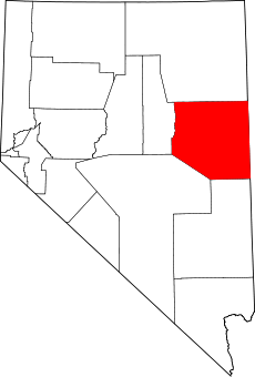
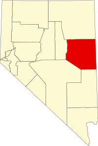
English: Media related to White Pine County, Nevada, a county in eastern Nevada, United States.
Subcategorii
Această categorie conține următoarele 15 subcategorii, dintr-un total de 15.
Fișiere media din categoria „White Pine County, Nevada”
Următoarele 57 fișiere se află în această categorie, dintr-un total de 57.
-
18-1470.JPG 3.872x2.592; 2,29 MB
-
2013-07-14 19 53 39 Rainbow while descending Nevada State Route 488.jpg 3.264x2.448; 1,72 MB
-
Aurum Ghost Town, Nevada (15615438356).jpg 600x450; 38 KB
-
Baker, Rd50 - panoramio.jpg 858x643; 575 KB
-
Belmont Mill - panoramio.jpg 1.500x1.000; 503 KB
-
BLM sign - panoramio.jpg 4.992x3.328; 2,25 MB
-
Cured Cheat Grass in White Pine County, NV.JPG 4.272x2.848; 4,59 MB
-
CurrantBristleCone.jpg 831x600; 126 KB
-
Draft environmental impact statement for the White Pine energy station project (IA draftenvironment01neso).pdf 1.362 × 1.883, 690 de pagini; 131,33 MB
-
East View from GRBA - panoramio.jpg 1.600x1.200; 409 KB
-
Final environmental impact statement for the White Pine energy station project (IA finalenvironment01neva).pdf 1.689 × 2.177, 452 de pagini; 136,29 MB
-
Floatilla - panoramio.jpg 4.000x3.000; 3,18 MB
-
GrandTouring-Mercedes-Wagon-SSC.jpg 308x218; 106 KB
-
Hamilton Nevada.jpg 600x400; 31 KB
-
Info sign - panoramio - harley photo.jpg 3.328x4.992; 2,44 MB
-
Lages Wildfire in White Pine County, Nevada.JPG 4.272x2.848; 2,55 MB
-
Liberty Pit.jpg 3.872x2.592; 2,6 MB
-
Massif - panoramio (1).jpg 4.000x3.000; 4,24 MB
-
Moorman Ridge in Shellback Wilderness Nevada.jpg 2.400x3.600; 4,32 MB
-
National Forest Development Road 448, Baker, United States (Unsplash).jpg 5.472x3.648; 1,59 MB
-
NewarkValleyLightning (19356330624).jpg 3.332x2.207; 3,05 MB
-
NSchellPk.jpg 899x586; 168 KB
-
Phyciodes pulchella P1510007a.jpg 1.931x1.638; 509 KB
-
Rhodes cabin Nevada.tif 4.821x3.792; 174 KB
-
Riepetown, Nevada (circa 1905).jpg 950x605; 263 KB
-
Robinson Mine in the winter.jpg 4.000x3.000; 1,21 MB
-
RobinsonMineElyNV.jpg 625x451; 41 KB
-
Sacramento Pass, view South from Highway 6-50 - panoramio.jpg 2.848x2.134; 1,18 MB
-
Scenic Overlook in Great Basin National Park dyeclan.com - panoramio.jpg 3.264x2.448; 3,92 MB
-
SchellCreekRangefromCaveLakeSP.JPG 3.264x2.448; 2,68 MB
-
SchellCrRange.jpg 600x900; 265 KB
-
Shellback Wilderness and US Route 50 Aerial.jpg 3.600x2.400; 3,77 MB
-
Snake Range-Sacramento Pass, Nevada - panoramio.jpg 2.842x1.736; 2,95 MB
-
USA White Pine County, Nevada age pyramid.svg 520x600; 8 KB
-
Ward Mountain and Hamels Peak Aerial.jpg 2.400x3.600; 4,61 MB
-
West side of Sacramento Pass - panoramio.jpg 2.848x2.134; 3,63 MB
-
White Pine County, NV, USA - panoramio.jpg 3.000x4.000; 6,83 MB


