File:Bartow Jones Bridge.jpg
Jump to navigation
Jump to search

Size of this preview: 800 × 450 pixels. Other resolutions: 320 × 180 pixels | 640 × 360 pixels | 1,024 × 576 pixels | 1,280 × 720 pixels | 2,816 × 1,584 pixels.
Original file (2,816 × 1,584 pixels, file size: 1.1 MB, MIME type: image/jpeg)
Captions
Captions
Add a one-line explanation of what this file represents
| Camera location | | View this and other nearby images on: OpenStreetMap |
|---|
| Description |
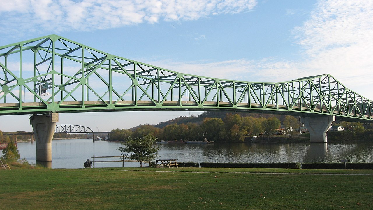
English: Western (downstream) side of the Bartow Jones Bridge, which carries West Virginia Route 2 over the Kanawha River at its confluence with the Ohio River. Picture is taken from Tu-Endie-Wei State Park in Point Pleasant, West Virginia, United States, immediately to the northwest of the bridge.
|
||
| Date | Taken on 22 October 2012 | ||
| Source | Own work | ||
| Author | Nyttend | ||
| Permission (Reusing this file) |
|
File history
Click on a date/time to view the file as it appeared at that time.
| Date/Time | Thumbnail | Dimensions | User | Comment | |
|---|---|---|---|---|---|
| current | 13:44, 25 October 2012 | | 2,816 × 1,584 (1.1 MB) | Nyttend (talk | contribs) | {{Location|38|50|16|N|82|8|22|W}} {{Information |Description={{en|Western (downstream) side of the {{w|Bartow Jones Bridge}}, which carries {{w|West Virginia Route 2}} over the {{w|Kanawha River}} at its confluence with the {{w|Ohio River}}. Picture i... |
You cannot overwrite this file.
File usage on Commons
There are no pages that use this file.
Metadata
Categories:
- Built in West Virginia in 1999
- Bridges in the United States completed in 1999
- 1990s bridges in West Virginia
- Historic districts in West Virginia
- Crossings of the Kanawha River
- National Register of Historic Places in Mason County, West Virginia
- Point Pleasant, West Virginia
- Tu-Endie-Wei State Park
- Through truss bridges in West Virginia
- West Virginia Route 2
- Roads in Mason County, West Virginia
- Mason County, West Virginia in the 2010s