File:Świebodzin location map.png
Original file (809 × 766 pixels, file size: 562 KB, MIME type: image/png)
Captions
Captions
Summary
[edit]
| Description |
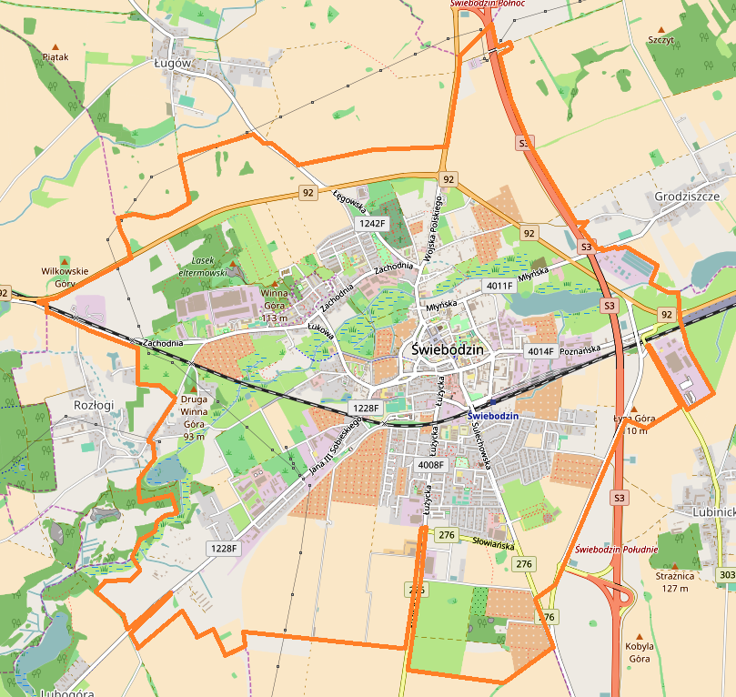
English: Location map |
| Date | |
| Source | Own work |
| Author | Smat |
| Description |
Polski: Mapa Świebodzina, Polska
English: Map of Świebodzin, Poland |
|||||||||
| Date | ||||||||||
| Source | You may find a page on the OpenStreetMap wiki page for Świebodzin | |||||||||
| Creator |
OpenStreetMap contributors OpenStreetMap contributors |
|||||||||
| Permission (Reusing this file) |
OpenStreetMap data is available under the Open Database License (details). Map tiles are licensed under the Creative Commons Attribution-ShareAlike 2.0 license (CC-BY-SA 2.0).
This file is licensed under the Creative Commons Attribution-Share Alike 2.0 Generic license.
|
|||||||||
| Geotemporal data | ||||||||||
| Bounding box |
|
|||||||||
| Georeferencing | If inappropriate please set warp_status = skip to hide. | |||||||||
Licensing
[edit]
| This work contains information from OpenStreetMap, which is made available under the Open Database License (ODbL).
The ODbL does not require any particular license for maps produced from ODbL data. Prior to 1 August 2020, map tiles produced by the OpenStreetMap Foundation were licensed under the CC-BY-SA-2.0 license. Maps produced by other people may be subject to other licences. |
File history
Click on a date/time to view the file as it appeared at that time.
| Date/Time | Thumbnail | Dimensions | User | Comment | |
|---|---|---|---|---|---|
| current | 11:59, 12 August 2017 | | 809 × 766 (562 KB) | Smat (talk | contribs) | User created page with UploadWizard |
You cannot overwrite this file.
File usage on Commons
There are no pages that use this file.
File usage on other wikis
The following other wikis use this file:
- Usage on pl.wikipedia.org
- Ratusz w Świebodzinie
- I Liceum Ogólnokształcące im. Henryka Sienkiewicza w Świebodzinie
- Świebodzin (stacja kolejowa)
- Figura Jezusa Chrystusa Króla Wszechświata
- Sanktuarium Miłosierdzia Bożego w Świebodzinie
- Parafia Miłosierdzia Bożego w Świebodzinie
- Parafia Najświętszej Maryi Panny Królowej Polski w Świebodzinie
- Parafia św. Michała Archanioła w Świebodzinie
- Wieża Bismarcka w Świebodzinie
- Ławeczka Czesława Niemena w Świebodzinie
- Zbór Kościoła Adwentystów Dnia Siódmego w Świebodzinie
- Zbór Kościoła Zielonoświątkowego w Świebodzinie
- Kościół św. Michała Archanioła w Świebodzinie
- Kościół Najświętszej Maryi Panny Królowej Polski w Świebodzinie
- Muzeum Regionalne w Świebodzinie
- Zamecko
- Trzcinno (jezioro w powiecie świebodzińskim)
- Moduł:Mapa/dane/Świebodzin
- Stadion Miejski w Świebodzinie
- Usage on pl.wikibooks.org