File:Świeradów-Zdrój location map.png

Original file (1,144 × 850 pixels, file size: 650 KB, MIME type: image/png)
Captions
Captions
Summary
[edit]
| Description |
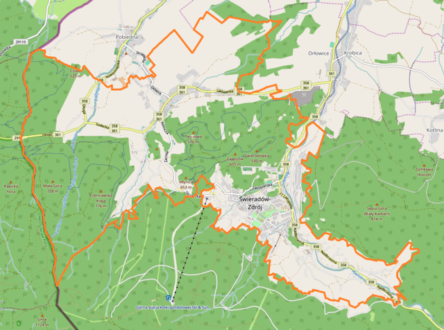
English: Location map. |
| Date | |
| Source | Own work |
| Author | Smat |
| Description |
Polski: Mapa Świeradowa-Zdroju, Polska
English: Map of Świeradów-Zdrój, Poland |
|||||||||
| Date | ||||||||||
| Source | You may find a page on the OpenStreetMap wiki page for Świeradów-Zdrój | |||||||||
| Creator |
OpenStreetMap contributors OpenStreetMap contributors |
|||||||||
| Permission (Reusing this file) |
OpenStreetMap data is available under the Open Database License (details). Map tiles are licensed under the Creative Commons Attribution-ShareAlike 2.0 license (CC-BY-SA 2.0).
This file is licensed under the Creative Commons Attribution-Share Alike 2.0 Generic license.
|
|||||||||
| Geotemporal data | ||||||||||
| Bounding box |
|
|||||||||
| Georeferencing | If inappropriate please set warp_status = skip to hide. | |||||||||
Licensing
[edit]
| This work contains information from OpenStreetMap, which is made available under the Open Database License (ODbL).
The ODbL does not require any particular license for maps produced from ODbL data. Prior to 1 August 2020, map tiles produced by the OpenStreetMap Foundation were licensed under the CC-BY-SA-2.0 license. Maps produced by other people may be subject to other licences. |
File history
Click on a date/time to view the file as it appeared at that time.
| Date/Time | Thumbnail | Dimensions | User | Comment | |
|---|---|---|---|---|---|
| current | 11:05, 5 December 2016 | | 1,144 × 850 (650 KB) | Smat (talk | contribs) | User created page with UploadWizard |
You cannot overwrite this file.
File usage on Commons
There are no pages that use this file.
File usage on other wikis
The following other wikis use this file:
- Usage on pl.wikipedia.org
- Czerniawa-Zdrój
- Przejście graniczne Czerniawa-Zdrój-Nové Město pod Smrkem
- Świeradów-Zdrój (przystanek kolejowy)
- Świeradów Nadleśnictwo
- Parafia Podwyższenia Krzyża Świętego w Świeradowie-Zdroju
- Parafia św. Józefa Oblubieńca Najświętszej Maryi Panny w Świeradowie-Zdroju
- Ośrodek Ski & Sun Świeradów-Zdrój
- Graniczna (potok)
- TSR Góra Zajęcznik
- Przejście graniczne Stóg Izerski-Smrk
- Mini Muzeum Szachów w Świeradowie-Zdroju
- Muzeum Górnictwa Uzdrowiskowego w Świeradowie-Zdroju
- Czarci Młyn w Świeradowie-Zdroju
- Granicznik (dopływ Łużycy)
- Kościół św. Józefa Oblubieńca Najświętszej Maryi Panny w Świeradowie-Zdroju
- Kościół Podwyższenia Krzyża Świętego w Świeradowie-Zdroju
- Moduł:Mapa/dane/Świeradów-Zdrój
- Park Zdrojowy w Świeradowie-Zdroju
- Usage on pl.wikibooks.org
- Usage on pt.wikipedia.org