File:Żurawica (gmina) location map.png

Original file (2,713 × 1,470 pixels, file size: 509 KB, MIME type: image/png)
Captions
Captions
Summary[edit]
_location_map.png&action=edit§ion=1)
| Description |
English: Location map |
| Date | |
| Source | Own work |
| Author | Smat |
| Description |
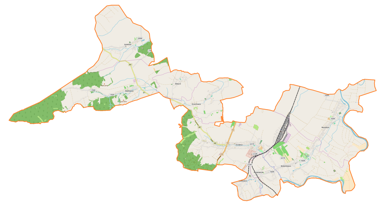
Polski: Mapa gminy Żurawica, Polska
English: Map of Żurawica (gmina), Poland |
|||||||||
| Date | ||||||||||
| Source | You may find a page on the OpenStreetMap wiki page for Żurawica (gmina) | |||||||||
| Creator |
OpenStreetMap contributors OpenStreetMap contributors |
|||||||||
| Permission (Reusing this file) |
OpenStreetMap data is available under the Open Database License (details). Map tiles are licensed under the Creative Commons Attribution-ShareAlike 2.0 license (CC-BY-SA 2.0).
This file is licensed under the Creative Commons Attribution-Share Alike 2.0 Generic license.
|
|||||||||
| Geotemporal data | ||||||||||
| Bounding box |
|
|||||||||
| Georeferencing | If inappropriate please set warp_status = skip to hide. | |||||||||
Licensing[edit]
_location_map.png&action=edit§ion=2)
| This work contains information from OpenStreetMap, which is made available under the Open Database License (ODbL).
The ODbL does not require any particular license for maps produced from ODbL data. Prior to 1 August 2020, map tiles produced by the OpenStreetMap Foundation were licensed under the CC-BY-SA-2.0 license. Maps produced by other people may be subject to other licences. |
File history
Click on a date/time to view the file as it appeared at that time.
| Date/Time | Thumbnail | Dimensions | User | Comment | |
|---|---|---|---|---|---|
| current | 14:12, 11 August 2018 | | 2,713 × 1,470 (509 KB) | Smat (talk | contribs) | User created page with UploadWizard |
You cannot overwrite this file.
File usage on Commons
There are no pages that use this file.
File usage on other wikis
The following other wikis use this file:
- Usage on pl.wikipedia.org
- Żurawica (województwo podkarpackie)
- Bolestraszyce
- Batycze
- Buszkowiczki
- Kosienice
- Maćkowice
- Wyszatyce
- Orzechowce (wieś)
- Baraki (Żurawica)
- Buszkowice (województwo podkarpackie)
- Bażantarnia (Żurawica)
- Parcelacja (Żurawica)
- Cerkiew św. Symeona w Maćkowicach
- Cerkiew św. Mikołaja w Batyczach
- Cerkiew Pokrow Bogarodzicy w Buszkowicach
- Cerkiew Przemienienia Pańskiego w Wyszatycach
- Żurawica (stacja kolejowa)
- Parafia Niepokalanego Poczęcia Najświętszej Maryi Panny w Żurawicy
- Parafia św. Andrzeja Boboli w Żurawicy
- Żurawica Rozrządowa
- Parafia św. Mikołaja w Wyszatycach
- Parafia Najświętszej Maryi Panny Królowej w Buszkowicach
- Parafia Narodzenia Najświętszej Maryi Panny w Bolestraszycach
- Parafia Matki Bożej Bolesnej w Kosienicach
- Parafia Matki Bożej Różańcowej w Orzechowcach
- Parafia Matki Bożej Nieustającej Pomocy w Maćkowicach
- Muzeum Fort XII Werner w Żurawicy
- Moduł:Mapa/dane/Żurawica (gmina)
- Linia kolejowa nr 861
- PKP Cargo Terminale
- Usage on pl.wikibooks.org
_location_map.png&oldid=704812624)