File:БО Карина 2011 - panoramio.jpg
Jump to navigation
Jump to search

Size of this preview: 800 × 600 pixels. Other resolutions: 320 × 240 pixels | 640 × 480 pixels | 1,024 × 768 pixels | 1,200 × 900 pixels.
Original file (1,200 × 900 pixels, file size: 820 KB, MIME type: image/jpeg)
Captions
Captions
Add a one-line explanation of what this file represents
Summary
[edit]
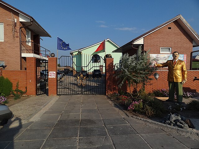
| Description | БО Карина 2011 | ||
| Date | Taken on 3 August 2011 | ||
| Source | https://web.archive.org/web/20161022041846/http://www.panoramio.com/photo/57234018 | ||
| Author | Валерий Дед | ||
| Permission (Reusing this file) |
This file is licensed under the Creative Commons Attribution 3.0 Unported license. Attribution: Валерий Дед
|
||
| Tags (from Panoramio photo page) | Kyrylivka, Kyrylivka(Кирилловка) |
| Camera location | | View this and other nearby images on: OpenStreetMap |
|---|
File history
Click on a date/time to view the file as it appeared at that time.
| Date/Time | Thumbnail | Dimensions | User | Comment | |
|---|---|---|---|---|---|
| current | 04:56, 7 December 2016 | | 1,200 × 900 (820 KB) | Panoramio upload bot (talk | contribs) | == {{int:filedesc}} == {{Information |description=БО Карина 2011 |date={{Taken on|2011-08-03}} |source=http://www.panoramio.com/photo/57234018 |author=[http://www.panoramio.com/user/2333416?with_photo_id=57234018 Валерий Дед] |permiss... |
You cannot overwrite this file.
File usage on Commons
There are no pages that use this file.
Metadata
Categories:
- Kyrylivka, Yakymivka Raion
- August 2011 in Zaporizhzhia Oblast
- Resorts in Zaporizhzhia Oblast
- Photographs of flags of Belarus in Ukraine
- Photographs of flags of the European Union in Ukraine
- Statues of men in Ukraine
- Sculptures in Ukraine photographed in 2011
- Concrete pavements in Ukraine
- Gates in Zaporizhzhia Oblast