File:Забуяння IMG 20200412 162420.jpg
![File:Забуяння IMG 20200412 162420.jpg](https://upload.wikimedia.org/wikipedia/commons/thumb/9/98/%D0%97%D0%B0%D0%B1%D1%83%D1%8F%D0%BD%D0%BD%D1%8F_IMG_20200412_162420.jpg/800px-%D0%97%D0%B0%D0%B1%D1%83%D1%8F%D0%BD%D0%BD%D1%8F_IMG_20200412_162420.jpg?20200919185406)
Original file (2,522 × 1,698 pixels, file size: 1.96 MB, MIME type: image/jpeg)
Captions
Captions
Summary
[edit]DescriptionЗабуяння IMG 20200412 162420.jpg |
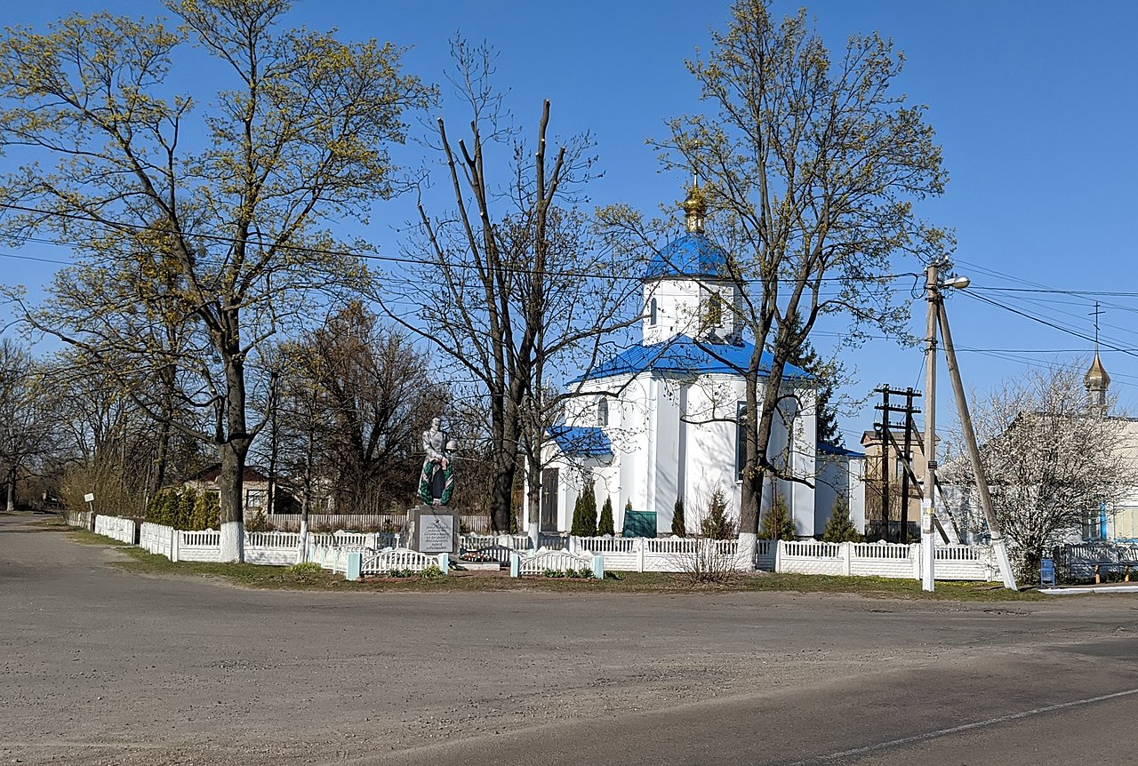
Українська: Братська могила 32 рад. воїнів, які загинули в боях при обороні села в 1941 р., 18 мирних жителів, які були закатовані фашистами в квітні 1943 р., та пам’ятник на честь 143 воїнів-односельців, що не повернулися з фронтів війни, с. Забуяння,
|
||
Date | |||
Source | Own work | ||
Author | WestBam |
Camera location | 50° 33′ 37.38″ N, 29° 39′ 02.04″ E ![]() | View this and other nearby images on: OpenStreetMap | ![]() |
---|
Licensing
[edit]![w:en:Creative Commons](https://upload.wikimedia.org/wikipedia/commons/thumb/7/79/CC_some_rights_reserved.svg/90px-CC_some_rights_reserved.svg.png)
![attribution](https://upload.wikimedia.org/wikipedia/commons/thumb/1/11/Cc-by_new_white.svg/24px-Cc-by_new_white.svg.png)
![share alike](https://upload.wikimedia.org/wikipedia/commons/thumb/d/df/Cc-sa_white.svg/24px-Cc-sa_white.svg.png)
- You are free:
- to share – to copy, distribute and transmit the work
- to remix – to adapt the work
- Under the following conditions:
- attribution – You must give appropriate credit, provide a link to the license, and indicate if changes were made. You may do so in any reasonable manner, but not in any way that suggests the licensor endorses you or your use.
- share alike – If you remix, transform, or build upon the material, you must distribute your contributions under the same or compatible license as the original.
![]() |
This image was uploaded as part of Wiki Loves Monuments 2020.
Afrikaans ∙ Alemannisch ∙ azərbaycanca ∙ Bahasa Indonesia ∙ Bahasa Melayu ∙ Bikol Central ∙ bosanski ∙ brezhoneg ∙ català ∙ čeština ∙ Cymraeg ∙ dansk ∙ davvisámegiella ∙ Deutsch ∙ eesti ∙ English ∙ español ∙ Esperanto ∙ euskara ∙ français ∙ Frysk ∙ Gaeilge ∙ galego ∙ hrvatski ∙ Ido ∙ italiano ∙ latviešu ∙ Lëtzebuergesch ∙ Malagasy ∙ magyar ∙ Malti ∙ Nederlands ∙ norsk ∙ norsk nynorsk ∙ norsk bokmål ∙ polski ∙ português ∙ português do Brasil ∙ română ∙ shqip ∙ sicilianu ∙ slovenčina ∙ slovenščina ∙ suomi ∙ svenska ∙ Tagalog ∙ Türkçe ∙ Yorùbá ∙ Zazaki ∙ Ελληνικά ∙ беларуская ∙ беларуская (тарашкевіца) ∙ български ∙ кыргызча ∙ македонски ∙ русский ∙ српски / srpski ∙ українська ∙ ქართული ∙ հայերեն ∙ नेपाली ∙ हिन्दी ∙ বাংলা ∙ മലയാളം ∙ ไทย ∙ 한국어 ∙ +/− |
![]() |
File history
Click on a date/time to view the file as it appeared at that time.
Date/Time | Thumbnail | Dimensions | User | Comment | |
---|---|---|---|---|---|
current | 18:54, 19 September 2020 | ![]() | 2,522 × 1,698 (1.96 MB) | WestBam (talk | contribs) | Uploaded own work with UploadWizard |
You cannot overwrite this file.
File usage on Commons
The following 2 pages use this file:
Metadata
This file contains additional information such as Exif metadata which may have been added by the digital camera, scanner, or software program used to create or digitize it. If the file has been modified from its original state, some details such as the timestamp may not fully reflect those of the original file. The timestamp is only as accurate as the clock in the camera, and it may be completely wrong.
Camera manufacturer | |
---|---|
Camera model | Pixel 4 |
Exposure time | 2/15,625 sec (0.000128) |
F-number | f/1.73 |
ISO speed rating | 70 |
Date and time of data generation | 16:24, 12 April 2020 |
Lens focal length | 4.38 mm |
Latitude | 50° 33′ 37.38″ N |
Longitude | 29° 39′ 2.04″ E |
Altitude | 200.55 meters above sea level |
Orientation | Normal |
Horizontal resolution | 72 dpi |
Vertical resolution | 72 dpi |
Software used | ACDSee Pro 10 |
File change date and time | 21:45, 19 September 2020 |
Y and C positioning | Centered |
Exposure Program | Normal program |
Exif version | 2.31 |
Date and time of digitizing | 16:24, 12 April 2020 |
Meaning of each component |
|
APEX shutter speed | 12.93 |
APEX aperture | 1.58 |
APEX brightness | 10.03 |
APEX exposure bias | 0 |
Maximum land aperture | 1.58 APEX (f/1.73) |
Subject distance | 3.96 meters |
Metering mode | Center weighted average |
Flash | Flash did not fire, compulsory flash suppression |
DateTime subseconds | 172 |
DateTimeOriginal subseconds | 813192 |
DateTimeDigitized subseconds | 813192 |
Supported Flashpix version | 1 |
Color space | sRGB |
Sensing method | One-chip color area sensor |
Scene type | A directly photographed image |
Custom image processing | Custom process |
Exposure mode | Auto exposure |
White balance | Auto white balance |
Digital zoom ratio | 0 |
Focal length in 35 mm film | 27 mm |
Scene capture type | Standard |
Contrast | Normal |
Saturation | Normal |
Sharpness | Normal |
Subject distance range | Distant view |
GPS time (atomic clock) | 13:22 |
Measurement precision | Poor (31.359) |
GPS date | 12 April 2020 |
GPS tag version | 0.0.2.2 |
Structured data
Items portrayed in this file
depicts
12 April 2020
50°33'37.379"N, 29°39'2.041"E
0.000128 second
1.73
4.38 millimetre
image/jpeg
- Cultural heritage monuments in Ukraine with known IDs
- Cultural heritage monuments in Ukraine missing SDC location of creation
- Files with coordinates missing SDC location of creation
- CC-BY-SA-4.0
- Self-published work
- Images from Wiki Loves Monuments 2020
- Images from Wiki Loves Monuments 2020 in Ukraine
- Images from Wiki Loves Monuments missing SDC location of creation
- Wiki Loves Monuments in Ukraine 2020 - Quantity
- Uploaded via Campaign:wlm-ua
- Ukraine photographs taken on 2020-04-12