File:Запретная зона - panoramio.jpg
Jump to navigation
Jump to search

Size of this preview: 800 × 531 pixels. Other resolutions: 320 × 213 pixels | 640 × 425 pixels | 1,024 × 680 pixels | 1,280 × 850 pixels | 2,560 × 1,700 pixels | 4,288 × 2,848 pixels.
Original file (4,288 × 2,848 pixels, file size: 9.67 MB, MIME type: image/jpeg)
Captions
Captions
Add a one-line explanation of what this file represents
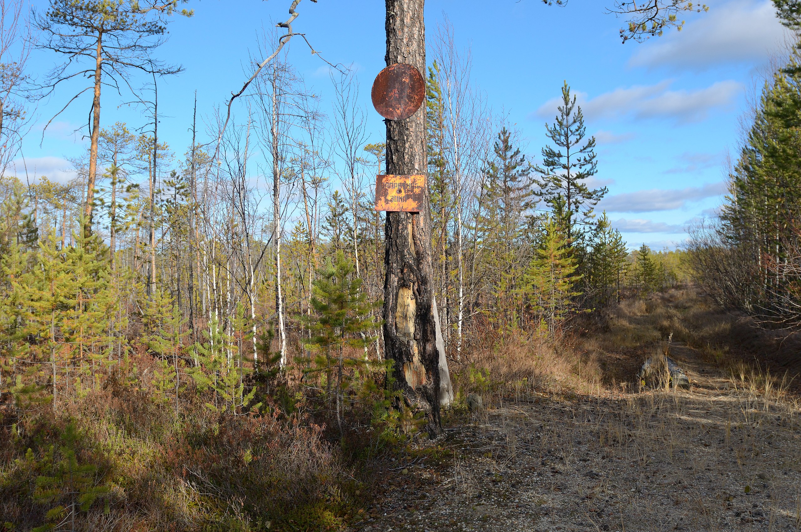
| Description | Запретная зона | ||
| Date | Taken on 10 October 2010 | ||
| Source | https://web.archive.org/web/20161114000301/http://www.panoramio.com/photo/42093368 | ||
| Author | Eduard Melnikov | ||
| Permission (Reusing this file) |
This file is licensed under the Creative Commons Attribution 3.0 Unported license. Attribution: Eduard Melnikov
|
||
| Tags (from Panoramio photo page) | Sovetsky District, 2010, Ханты-Мансийский автономный округ |
| Camera location | | View this and other nearby images on: OpenStreetMap |
|---|
File history
Click on a date/time to view the file as it appeared at that time.
| Date/Time | Thumbnail | Dimensions | User | Comment | |
|---|---|---|---|---|---|
| current | 23:46, 13 November 2016 | | 4,288 × 2,848 (9.67 MB) | Panoramio upload bot (talk | contribs) | {{Information |description=Запретная зона |date={{Taken on|2010-10-10}} |source=http://www.panoramio.com/photo/42093368 |author=[http://www.panoramio.com/user/943511?with_photo_id=42093368 Eduard Melnikov] |permission={{cc-by-3.0|Eduard Me... |
You cannot overwrite this file.
File usage on Commons
There are no pages that use this file.