File:Карта Енисейской Губернии.jpg
Jump to navigation
Jump to search

Size of this preview: 321 × 599 pixels. Other resolutions: 128 × 240 pixels | 257 × 480 pixels | 411 × 768 pixels | 548 × 1,024 pixels | 1,097 × 2,048 pixels | 4,893 × 9,133 pixels.
Original file (4,893 × 9,133 pixels, file size: 13.34 MB, MIME type: image/jpeg)
Captions
Captions
Add a one-line explanation of what this file represents
| Description |
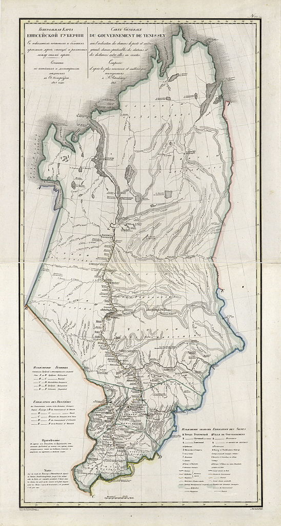
Русский: Географический атлас Российской империи, Царства Польского и Великого княжества Финляндского расположенный по губерниям на русском и французском языках. 1821 год. Енисейская Губерния. Генеральная карта. 1825 год.
Nederlands: Kaart van het gouvernement Jenisej |
|||||
| Date | ||||||
| Source | http://rutracker.org/forum/viewtopic.php?t=600838 | |||||
| Author | Пядышев Василий Петрович (1768-1835) Originally uploaded by ru:Участник:AGOT at ru:Файл:Карта Енисейской Губернии.jpg | |||||
| Permission (Reusing this file) |
|
|||||
File history
Click on a date/time to view the file as it appeared at that time.
| Date/Time | Thumbnail | Dimensions | User | Comment | |
|---|---|---|---|---|---|
| current | 11:56, 8 March 2009 | | 4,893 × 9,133 (13.34 MB) | Hardscarf (talk | contribs) | {{Information |Description={{ru|Карта Енисейской Губернии}} {{nl|Kaart van het gouvernement Jenisej |Source=Атлас Российской империи (atlas of the Russian Empire) |Date=1821 |Author=Uploaded by [[:ru:Участ |
You cannot overwrite this file.
File usage on Commons
The following 3 pages use this file:
File usage on other wikis
The following other wikis use this file:
- Usage on de.wikipedia.org
- Usage on en.wikipedia.org
- Usage on fi.wikipedia.org
- Usage on fr.wikipedia.org
- Usage on it.wikipedia.org
- Usage on ko.wikipedia.org
- Usage on nl.wikipedia.org
- Usage on no.wikipedia.org
- Usage on pl.wikipedia.org
- Usage on ro.wikipedia.org
- Usage on ru.wikipedia.org
- Usage on sv.wikipedia.org
- Usage on tr.wikipedia.org
- Usage on tt.wikipedia.org
- Usage on uk.wikipedia.org
- Usage on www.wikidata.org
Metadata
Categories:
- Geographical Atlas of the Russian Empire, the Kingdom of Poland, and the Grand Duchy of Finland (1820–1827)
- Old maps of Siberia
- Maps of Yeniseysk Governorate
- 1825 maps of Russia
- Krasnoyarsky Uyezd (Yeniseysk Governorate)
- Kansky Uyezd
- Yeniseysky Uyezd
- Achinsky Uyezd
- Minusinsky Uyezd
- 1825 in Yeniseysk Governorate