File:Карта на Тахити.svg
Jump to navigation
Jump to search

Size of this PNG preview of this SVG file: 800 × 450 pixels. Other resolutions: 320 × 180 pixels | 640 × 360 pixels | 1,024 × 575 pixels | 1,280 × 719 pixels | 2,560 × 1,439 pixels | 1,016 × 571 pixels.
Original file (SVG file, nominally 1,016 × 571 pixels, file size: 957 KB)
Captions
Captions
Add a one-line explanation of what this file represents
Summary
[edit]| Description |
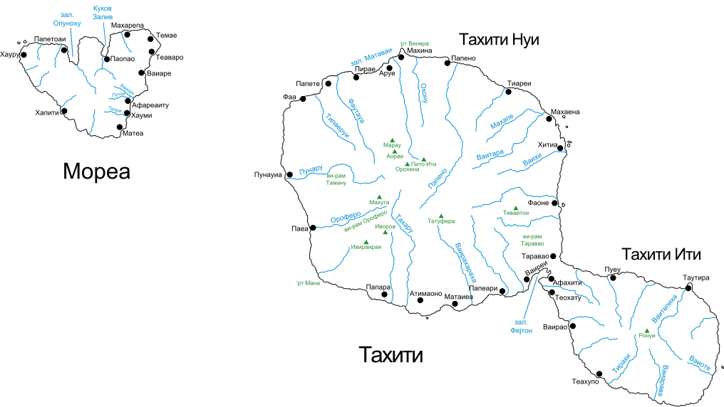
English: Map of Tahiti and Mo’orea in Macedonian. |
| Date | (UTC) |
| Source |
This file was derived from: Mapa de Tahiti.svg: |
| Author |
|
| Other versions |
|

| This is a retouched picture, which means that it has been digitally altered from its original version. Modifications: Translated into Macedonian. The original can be viewed here: Mapa de Tahiti.svg:
|
Licensing
[edit]
I, the copyright holder of this work, hereby publish it under the following license:
This file is licensed under the Creative Commons Attribution-Share Alike 2.5 Generic license.
- You are free:
- to share – to copy, distribute and transmit the work
- to remix – to adapt the work
- Under the following conditions:
- attribution – You must give appropriate credit, provide a link to the license, and indicate if changes were made. You may do so in any reasonable manner, but not in any way that suggests the licensor endorses you or your use.
- share alike – If you remix, transform, or build upon the material, you must distribute your contributions under the same or compatible license as the original.
Original upload log
[edit]
This image is a derivative work of the following images:
- File:Mapa_de_Tahiti.svg licensed with Cc-by-sa-2.5
- 2007-03-11T14:22:39Z Vilallonga 1016x571 (439087 Bytes)
- 2007-02-16T11:50:49Z Vilallonga 1016x571 (408219 Bytes) {{Information |Description={{en|Map of [[Tahiti]] & Mo’orea. Text in catalan.}}{{fr|Carte de Tahiti et Mo’orea. Texte en catalan.}}{{ca|Mapa de Tahití i Mo’orea. Text en català}} |Source=Own Work |Date=16-02-2007 |Aut
Uploaded with derivativeFX
File history
Click on a date/time to view the file as it appeared at that time.
| Date/Time | Thumbnail | Dimensions | User | Comment | |
|---|---|---|---|---|---|
| current | 12:48, 26 October 2012 | | 1,016 × 571 (957 KB) | McZusatz (talk | contribs) | deleted begin="\FF" tag (non utf8) |
| 04:01, 22 February 2012 |  | 1,016 × 571 (957 KB) | Bjankuloski06en (talk | contribs) | == {{int:filedesc}} == {{Information |Description={{mk|Карта на Тахити и Мореа.}} {{en|Map of Tahiti and Mo’orea in Macedonian.}} |Source={{Derived from|Mapa_de_Tahiti.svg|display=50}} |D... |
You cannot overwrite this file.
File usage on Commons
The following page uses this file:
File usage on other wikis
The following other wikis use this file:
- Usage on mk.wikipedia.org