File:Крепость Низовое на карте Кавказа 1837 года.jpg

Original file (1,440 × 1,578 pixels, file size: 1.01 MB, MIME type: image/jpeg)
Captions
Captions
Summary
[edit]
| Description |
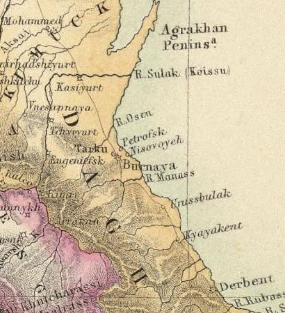
Русский: Крепость Низовое (Nisovoyeh) на карте Кавказа 1837 года |
| Date | |
| Source |
Карта Кавказа по материалам профессора Карла Коха. Нижняя часть листа с картами Крыма и Кавказа. The Caucasus according to prof. Dr. Karl Koch with additions from Sources by Augustus Petermann, FRGS. Engraved by G.H. Swanson. Масштаб 1:5,000,000. 1837 http://retromap.ru/141837_42.873951,47.400512 |
| Author | Augustus Petermann, FRGS. Engraved by G.H. Swanson |
Licensing
[edit]
|
This work is in the public domain in its country of origin and other countries and areas where the copyright term is the author's life plus 70 years or fewer. This work is in the public domain in the United States because it was published (or registered with the U.S. Copyright Office) before January 1, 1929. | |
| This file has been identified as being free of known restrictions under copyright law, including all related and neighboring rights. | |
File history
Click on a date/time to view the file as it appeared at that time.
| Date/Time | Thumbnail | Dimensions | User | Comment | |
|---|---|---|---|---|---|
| current | 15:05, 8 September 2022 | | 1,440 × 1,578 (1.01 MB) | Asħab (talk | contribs) | Uploaded a work by Augustus Petermann, FRGS. Engraved by G.H. Swanson from Карта Кавказа по материалам профессора Карла Коха. Нижняя часть листа с картами Крыма и Кавказа. The Caucasus according to prof. Dr. Karl Koch with additions from Sources by Augustus Petermann, FRGS. Engraved by G.H. Swanson. Масштаб 1:5,000,000. 1837 http://retromap.ru/141837_42.873951,47.400512 with UploadWizard |
You cannot overwrite this file.
File usage on Commons
There are no pages that use this file.
File usage on other wikis
The following other wikis use this file:
- Usage on ru.wikipedia.org