File:Перекрёсток ул. Ступина и ул. Кирова - panoramio.jpg
Jump to navigation
Jump to search
Size of this preview: 800 × 434 pixels. Other resolutions: 320 × 174 pixels | 640 × 347 pixels | 1,024 × 556 pixels | 1,280 × 695 pixels | 2,560 × 1,390 pixels | 4,297 × 2,333 pixels.
Original file (4,297 × 2,333 pixels, file size: 3.68 MB, MIME type: image/jpeg)
Captions
Captions
Add a one-line explanation of what this file represents
Summary[edit]
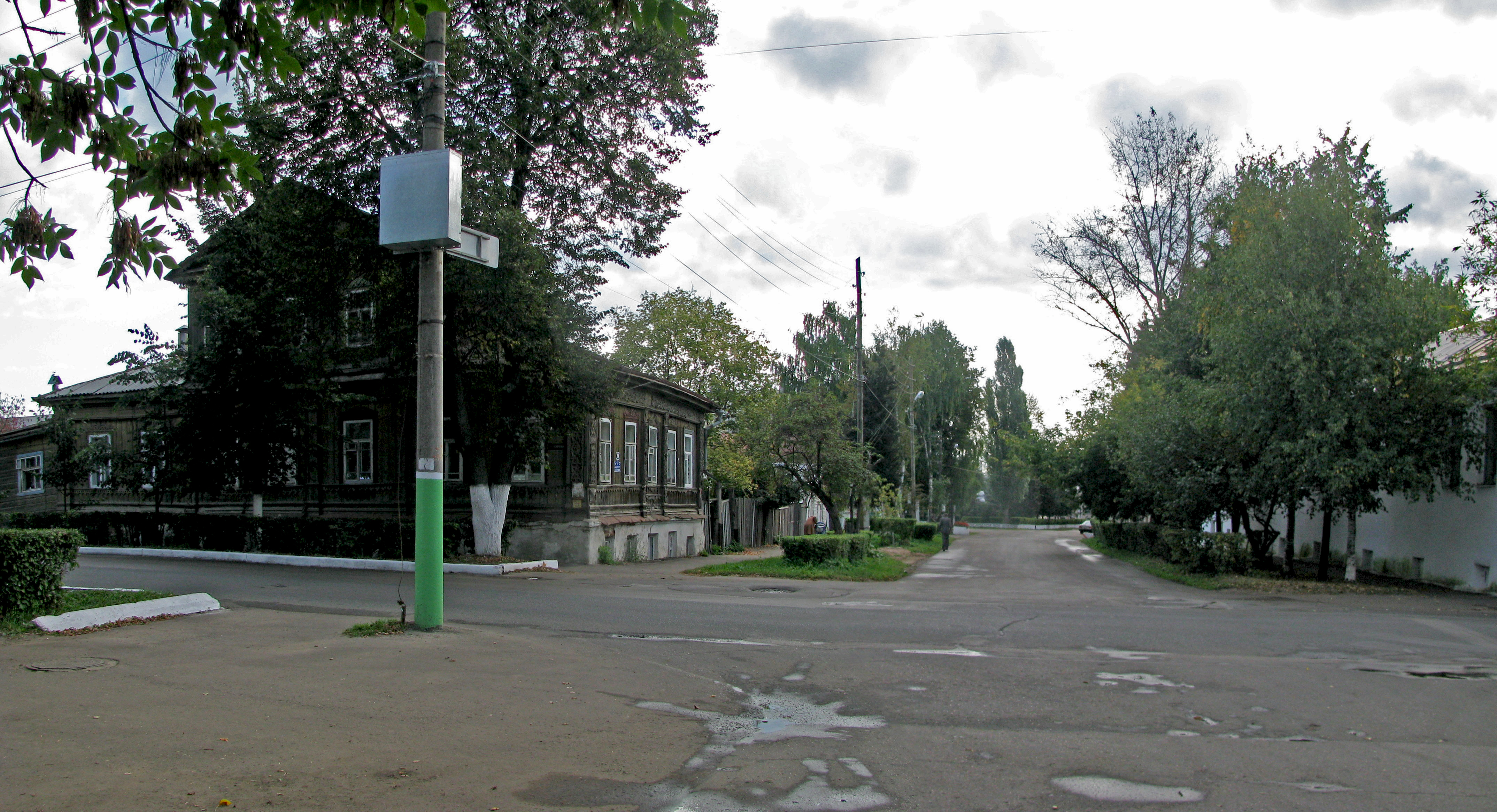
| Description | Перекрёсток ул. Ступина и ул. Кирова | ||
| Date | 1 October 2009 (original upload date) | ||
| Source | https://web.archive.org/web/20161014125448/http://www.panoramio.com/photo/27316539 | ||
| Author | Arzy Arzamas | ||
| Permission (Reusing this file) |
This file is licensed under the Creative Commons Attribution 3.0 Unported license. Attribution: Arzy Arzamas
|
||
| Tags (from Panoramio photo page) | Arzamas, Arzamas |
| Camera location | | View this and other nearby images on: OpenStreetMap |
|---|
File history
Click on a date/time to view the file as it appeared at that time.
| Date/Time | Thumbnail | Dimensions | User | Comment | |
|---|---|---|---|---|---|
| current | 04:46, 3 December 2016 | | 4,297 × 2,333 (3.68 MB) | Panoramio upload bot (talk | contribs) | == {{int:filedesc}} == {{Information |description=Перекрёсток ул. Ступина и ул. Кирова |date={{Original upload date|2009-10-01}} |source=http://www.panoramio.com/photo/27316539 |author=[http://www.panoramio.com/user/1863124... |
You cannot overwrite this file.
File usage on Commons
There are no pages that use this file.