File:Хрещатий яр, Київ, Ukraine - panoramio (27).jpg
Jump to navigation
Jump to search

Size of this preview: 800 × 539 pixels. Other resolutions: 320 × 215 pixels | 640 × 431 pixels | 1,024 × 689 pixels | 1,280 × 862 pixels | 1,600 × 1,077 pixels.
Original file (1,600 × 1,077 pixels, file size: 551 KB, MIME type: image/jpeg)
Captions
Captions
Add a one-line explanation of what this file represents
Summary
[edit].jpg&action=edit§ion=1)
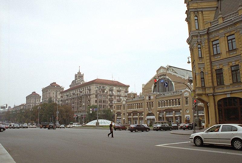
| Description | Хрещатий яр, Київ, Ukraine | ||
| Date | 25 March 2012 (original upload date) | ||
| Source | https://web.archive.org/web/20161023100346/http://www.panoramio.com/photo/69080759 | ||
| Author | Maksym Kozlenko | ||
| Permission (Reusing this file) |
This file is licensed under the Creative Commons Attribution-Share Alike 3.0 Unported license. Attribution: Maksym Kozlenko
|
||
| Tags (from Panoramio photo page) | Київ, 2002, Kiev, Ukraine |
| Camera location | | View this and other nearby images on: OpenStreetMap |
|---|
.jpg¶ms=050.444692_N_0030.520853_E_globe:Earth_type:camera_source:Panoramio_&language=en)
File history
Click on a date/time to view the file as it appeared at that time.
| Date/Time | Thumbnail | Dimensions | User | Comment | |
|---|---|---|---|---|---|
| current | 22:55, 31 December 2016 | | 1,600 × 1,077 (551 KB) | Panoramio upload bot (talk | contribs) | == {{int:filedesc}} == {{Information |description=Хрещатий яр, Київ, Ukraine |date={{Original upload date|2012-03-25}} |source=http://www.panoramio.com/photo/69080759 |author=[http://www.panoramio.com/user/16780?with_photo_id=69080759 Mak... |
You cannot overwrite this file.
File usage on Commons
There are no pages that use this file.
File usage on other wikis
The following other wikis use this file:
- Usage on it.wikipedia.org
.jpg&oldid=678567946)