File:人民路法华路路口 - Intersection of Renmin Road and Fahua Road - 2010.07 - panoramio.jpg
Jump to navigation
Jump to search

Size of this preview: 800 × 600 pixels. Other resolutions: 320 × 240 pixels | 640 × 480 pixels | 1,024 × 768 pixels | 1,280 × 960 pixels | 1,600 × 1,200 pixels.
Original file (1,600 × 1,200 pixels, file size: 397 KB, MIME type: image/jpeg)
Captions
Captions
Add a one-line explanation of what this file represents
Summary
[edit]
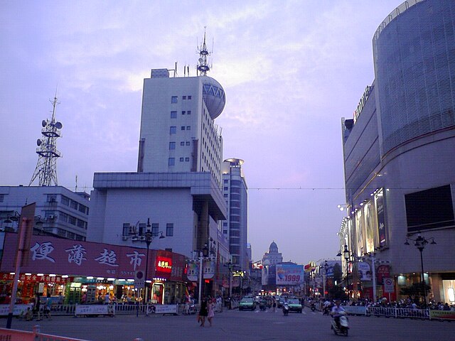
| Description | 人民路法华路路口 - Intersection of Renmin Road and Fahua Road - 2010.07 | ||
| Date | 25 December 2010 (original upload date) | ||
| Source | https://web.archive.org/web/20161016133941/http://www.panoramio.com/photo/45532028 | ||
| Author | rheins | ||
| Permission (Reusing this file) |
This file is licensed under the Creative Commons Attribution 3.0 Unported license. Attribution: rheins
|
||
| Tags (from Panoramio photo page) | 安庆 - Anqing City |
| Camera location | | View this and other nearby images on: OpenStreetMap |
|---|
File history
Click on a date/time to view the file as it appeared at that time.
| Date/Time | Thumbnail | Dimensions | User | Comment | |
|---|---|---|---|---|---|
| current | 20:30, 23 November 2016 | | 1,600 × 1,200 (397 KB) | Panoramio upload bot (talk | contribs) | == {{int:filedesc}} == {{Information |description=人民路法华路路口 - Intersection of Renmin Road and Fahua Road - 2010.07 |date={{Original upload date|2010-12-25}} |source=http://www.panoramio.com/photo/45532028 |author=[http://www.panoramio.co... |
You cannot overwrite this file.
File usage on Commons
The following page uses this file:
File usage on other wikis
The following other wikis use this file:
- Usage on ceb.wikipedia.org
- Usage on es.wikipedia.org
- Usage on eu.wikipedia.org
- Usage on fr.wikipedia.org
- Usage on pl.wikipedia.org
- Usage on ru.wikipedia.org
- Usage on uz.wikipedia.org
- Usage on www.wikidata.org