File:尻別岳.JPG
Jump to navigation
Jump to search

Size of this preview: 800 × 600 pixels. Other resolutions: 320 × 240 pixels | 640 × 480 pixels | 1,024 × 768 pixels | 1,280 × 960 pixels | 1,600 × 1,200 pixels.
Original file (1,600 × 1,200 pixels, file size: 295 KB, MIME type: image/jpeg)
Captions
Captions
Add a one-line explanation of what this file represents
Summary
[edit]
| Description | |
| Date | |
| Source | Own work |
| Author | Wakimasa |
| Camera location | | View this and other nearby images on: OpenStreetMap |
|---|
Licensing
[edit]
| I, the copyright holder of this work, release this work into the public domain. This applies worldwide. In some countries this may not be legally possible; if so: I grant anyone the right to use this work for any purpose, without any conditions, unless such conditions are required by law. |
File history
Click on a date/time to view the file as it appeared at that time.
| Date/Time | Thumbnail | Dimensions | User | Comment | |
|---|---|---|---|---|---|
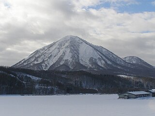
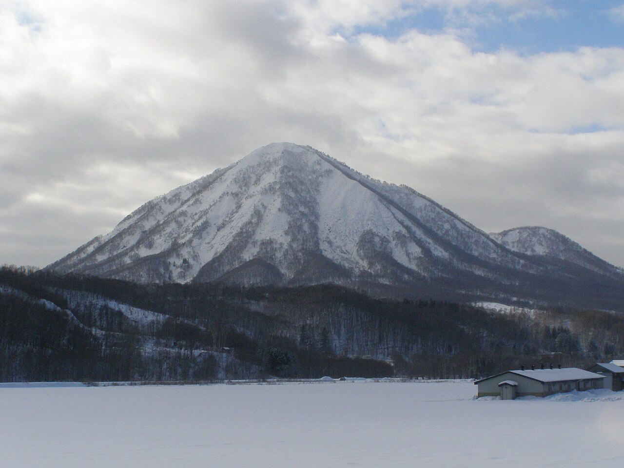
| current | 13:54, 25 January 2009 | | 1,600 × 1,200 (295 KB) | Wakimasa (talk | contribs) | {{Information |Description=喜茂別町から見た尻別岳 |Source=自己撮影 |Date=2008.12.1撮影 |Location=北海道喜茂別町 |Author=wakimasa |Permission={{PD-self}} |other_versions= }} |
You cannot overwrite this file.
File usage on Commons
There are no pages that use this file.