File:江门市街道景色 - panoramio (5).jpg
Jump to navigation
Jump to search

Size of this preview: 545 × 600 pixels. Other resolutions: 218 × 240 pixels | 436 × 480 pixels | 698 × 768 pixels | 931 × 1,024 pixels | 1,861 × 2,048 pixels | 3,575 × 3,934 pixels.
Original file (3,575 × 3,934 pixels, file size: 1.38 MB, MIME type: image/jpeg)
Captions
Captions
Add a one-line explanation of what this file represents
Summary
[edit].jpg&action=edit§ion=1)
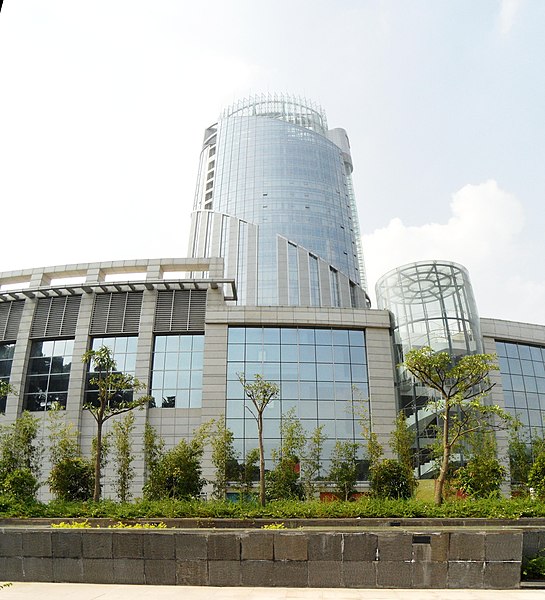
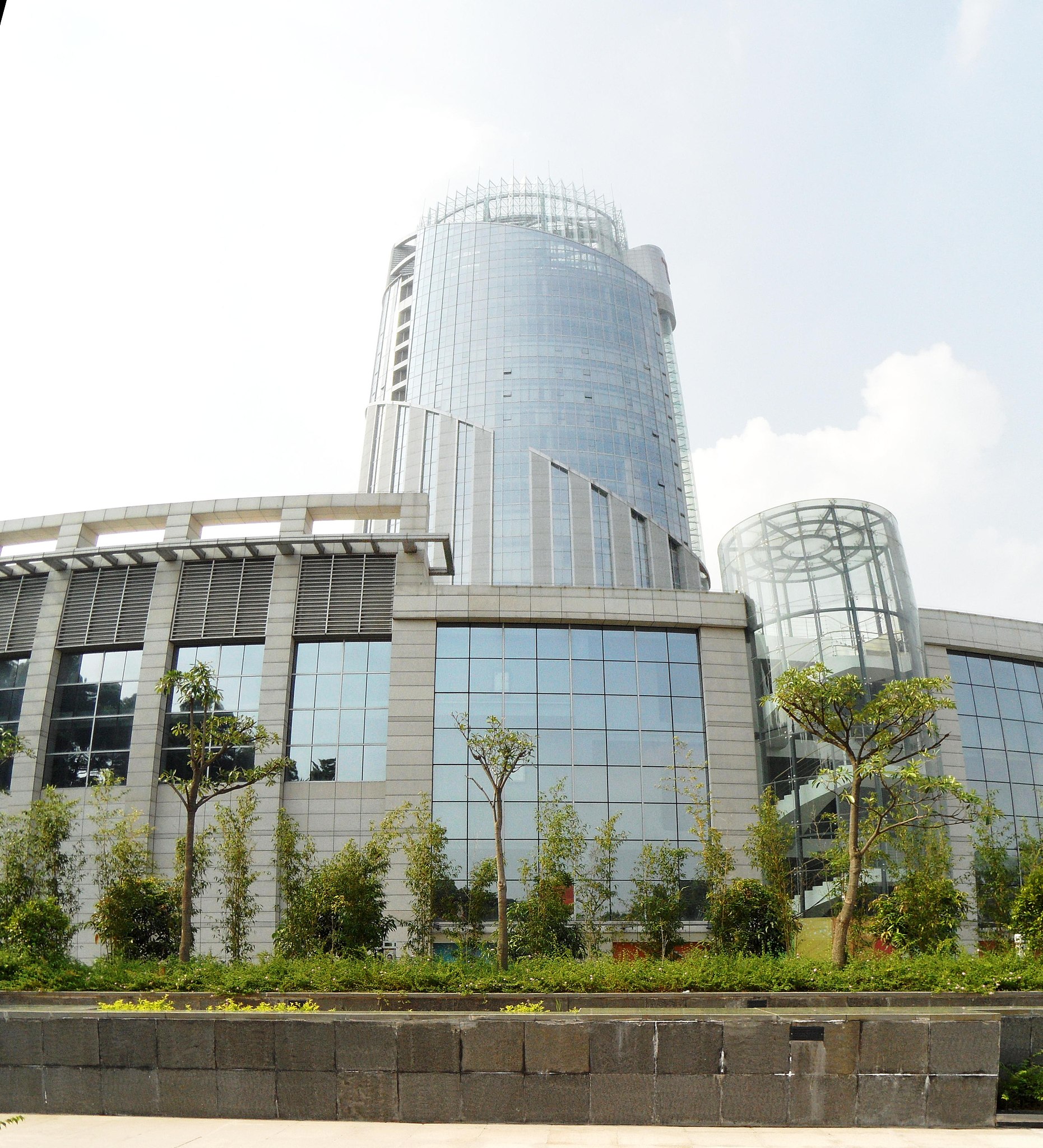
| Description | 江门市街道景色 | ||
| Date | 21 August 2011 (original upload date) | ||
| Source | https://web.archive.org/web/20161023141316/http://www.panoramio.com/photo/57672004 | ||
| Author | luchangjiang~鲁昌江 | ||
| Permission (Reusing this file) |
This file is licensed under the Creative Commons Attribution-Share Alike 3.0 Unported license. Attribution: luchangjiang~鲁昌江
|
||
| Tags (from Panoramio photo page) | Jiangmen, Lu Changjiang-鲁昌江, 广东省, 江门市 |
| Camera location | | View this and other nearby images on: OpenStreetMap |
|---|
.jpg¶ms=022.617325_N_0113.086853_E_globe:Earth_type:camera_source:Panoramio_&language=en)
File history
Click on a date/time to view the file as it appeared at that time.
| Date/Time | Thumbnail | Dimensions | User | Comment | |
|---|---|---|---|---|---|
| current | 14:56, 8 December 2016 | | 3,575 × 3,934 (1.38 MB) | Panoramio upload bot (talk | contribs) | == {{int:filedesc}} == {{Information |description=江门市街道景色 |date={{Original upload date|2011-08-21}} |source=http://www.panoramio.com/photo/57672004 |author=[http://www.panoramio.com/user/3970688?with_photo_id=57672004 luchangjiang~鲁昌... |
You cannot overwrite this file.
File usage on Commons
There are no pages that use this file.
File usage on other wikis
The following other wikis use this file:
- Usage on ru.wikipedia.org
.jpg&oldid=717547073)