File:照片 064.jpg
Jump to navigation
Jump to search

Size of this preview: 800 × 531 pixels. Other resolutions: 320 × 213 pixels | 640 × 425 pixels | 1,024 × 680 pixels | 1,280 × 850 pixels | 2,560 × 1,700 pixels | 4,288 × 2,848 pixels.
Original file (4,288 × 2,848 pixels, file size: 5.81 MB, MIME type: image/jpeg)
Captions
Captions
Add a one-line explanation of what this file represents
Summary
[edit]
| Description |
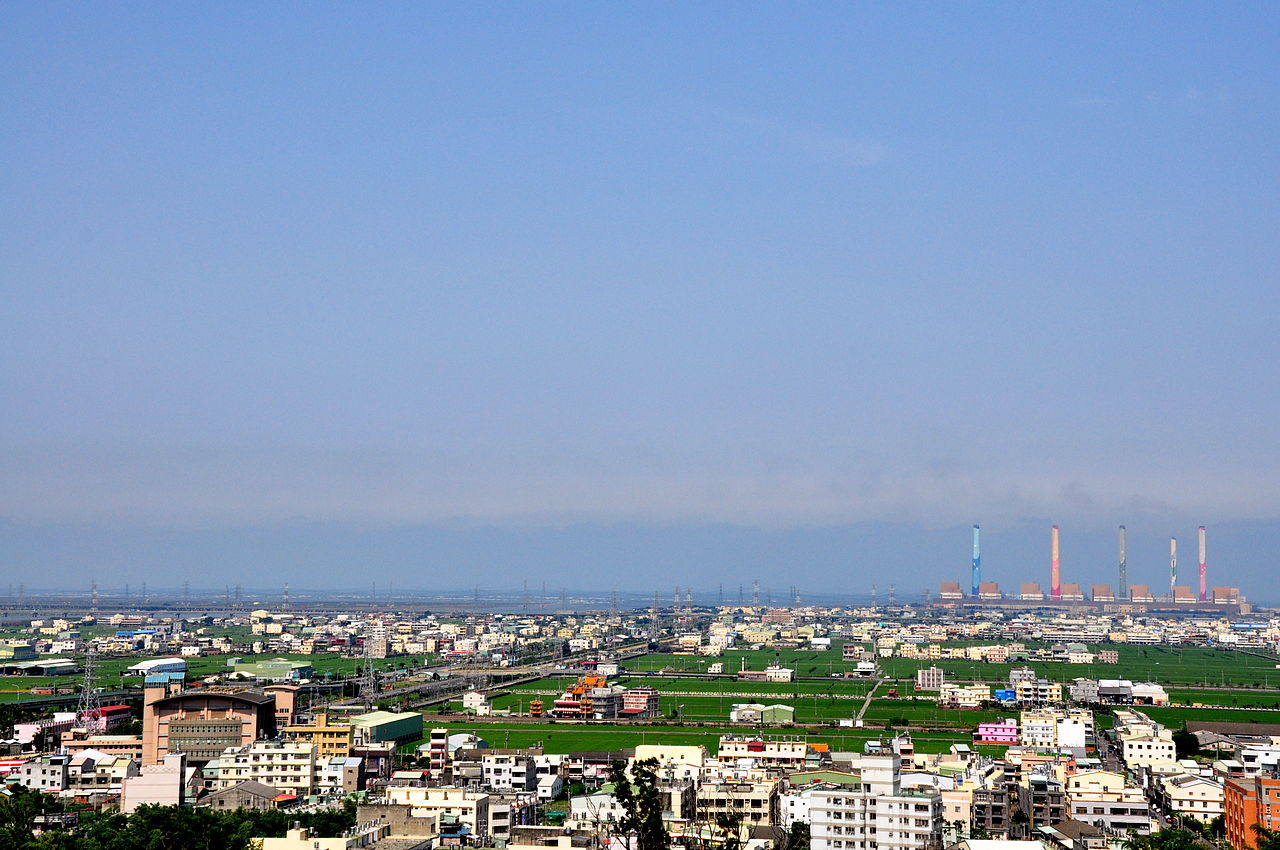
English: Looking down Qingshui Plain in Longjing Township,Taichung County.The plain is a part of the district of coast-line,and it is a plain in central-west Taiwan. 中文(简体):远眺位于台中县龙井乡的清水平原。清水平原是台湾中西部一处平原,是属于海线地区一部分。 閩南語 / Bân-lâm-gú:Uán-thiàu uī î Tâi-tiong-kuān Liông-tsínn-hiong ê Tshing-tsuí-pîng-guân. Tshing-tsuí-pîng-guân sī Tâi-uân tiong-se-pōo tsi̍t-tshù pîng-guân, sī sio̍k-î hái-suànn tē-khu tsi̍t-pōo-hūn. |
| Date | |
| Source | Own work |
| Author | 阿爾特斯 |
| Annotations | This image is annotated: View the annotations at Commons |
Licensing
[edit]
I, the copyright holder of this work, hereby publish it under the following licenses:
This file is licensed under the Creative Commons Attribution-Share Alike 3.0 Unported license.
- You are free:
- to share – to copy, distribute and transmit the work
- to remix – to adapt the work
- Under the following conditions:
- attribution – You must give appropriate credit, provide a link to the license, and indicate if changes were made. You may do so in any reasonable manner, but not in any way that suggests the licensor endorses you or your use.
- share alike – If you remix, transform, or build upon the material, you must distribute your contributions under the same or compatible license as the original.

|
Permission is granted to copy, distribute and/or modify this document under the terms of the GNU Free Documentation License, Version 1.2 or any later version published by the Free Software Foundation; with no Invariant Sections, no Front-Cover Texts, and no Back-Cover Texts. A copy of the license is included in the section entitled GNU Free Documentation License. |
You may select the license of your choice.
File history
Click on a date/time to view the file as it appeared at that time.
| Date/Time | Thumbnail | Dimensions | User | Comment | |
|---|---|---|---|---|---|
| current | 15:09, 16 April 2010 | | 4,288 × 2,848 (5.81 MB) | 阿爾特斯 (talk | contribs) | 調整原始檔案 |
| 15:05, 16 April 2010 |  | 2,144 × 1,424 (379 KB) | 阿爾特斯 (talk | contribs) | {{Information |Description={{en|1=Longjing Township ,Taichung County in Taiwan}} {{zh|1=大肚台地上遠眺台中縣海線地區。}} |Source={{own}} |Author=阿爾特斯 |Date=2010.04.16 |Permission= |other_versions= }} [ |
You cannot overwrite this file.
File usage on Commons
The following 2 pages use this file:
File usage on other wikis
The following other wikis use this file:
- Usage on de.wikipedia.org
- Usage on en.wikipedia.org
- Usage on fa.wikipedia.org
- Usage on it.wikipedia.org
- Usage on zh.wikipedia.org