File:盛岡市街と和賀連峰 Panorama of Morioka City ^ Waga Mountain Range - panoramio.jpg
Jump to navigation
Jump to search

Size of this preview: 800 × 532 pixels. Other resolutions: 320 × 213 pixels | 640 × 425 pixels | 1,024 × 680 pixels | 1,280 × 850 pixels | 2,560 × 1,701 pixels | 4,672 × 3,104 pixels.
Original file (4,672 × 3,104 pixels, file size: 1.04 MB, MIME type: image/jpeg)
Captions
Captions
Add a one-line explanation of what this file represents
Summary
[edit]
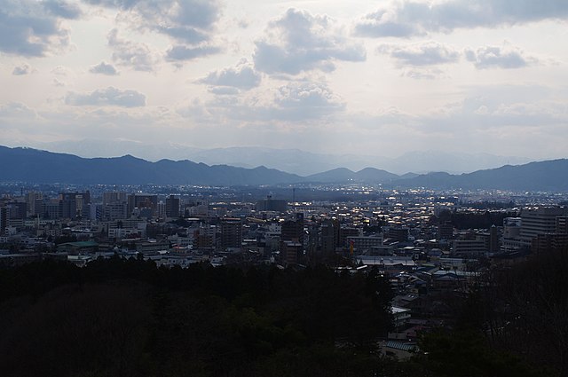
| Description | 盛岡市街と和賀連峰 Panorama of Morioka City & Waga Mountain Range | ||
| Date | Taken on 25 April 2010 | ||
| Source | https://web.archive.org/web/20161015044717/http://www.panoramio.com/photo/37008590 | ||
| Author | Tomofumi Sato | ||
| Permission (Reusing this file) |
This file is licensed under the Creative Commons Attribution-Share Alike 3.0 Unported license. Attribution: Tomofumi Sato
|
||
| Tags (from Panoramio photo page) | Morioka, Iwate, Japan |
| Camera location | | View this and other nearby images on: OpenStreetMap |
|---|
File history
Click on a date/time to view the file as it appeared at that time.
| Date/Time | Thumbnail | Dimensions | User | Comment | |
|---|---|---|---|---|---|
| current | 09:09, 14 December 2016 | | 4,672 × 3,104 (1.04 MB) | Panoramio upload bot (talk | contribs) | == {{int:filedesc}} == {{Information |description=盛岡市街と和賀連峰 Panorama of Morioka City & Waga Mountain Range |date={{Taken on|2010-04-25}} |source=http://www.panoramio.com/photo/37008590 |author=[http://www.panoramio.com/user/217643?wit... |
You cannot overwrite this file.
File usage on Commons
There are no pages that use this file.