File:轟の滝 - panoramio (2).jpg
Jump to navigation
Jump to search

Size of this preview: 800 × 450 pixels. Other resolutions: 320 × 180 pixels | 640 × 360 pixels | 1,024 × 576 pixels | 1,280 × 719 pixels | 2,048 × 1,151 pixels.
Original file (2,048 × 1,151 pixels, file size: 326 KB, MIME type: image/jpeg)
Captions
Captions
Add a one-line explanation of what this file represents
Summary[edit]
.jpg&action=edit§ion=1)
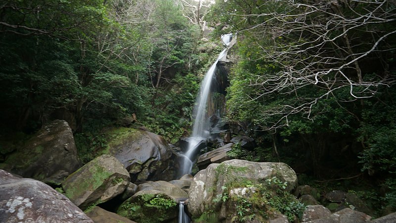
| Description | 轟の滝 | ||
| Date | Taken on 26 November 2011 | ||
| Source | https://web.archive.org/web/20161102200037/http://www.panoramio.com/photo/91023826 | ||
| Author | 次田和宏 | ||
| Permission (Reusing this file) |
This file is licensed under the Creative Commons Attribution 3.0 Unported license. Attribution: 次田和宏
|
||
| Tags (from Panoramio photo page) | Nago |
| Camera location | | View this and other nearby images on: OpenStreetMap |
|---|
.jpg¶ms=026.562566_N_0127.988417_E_globe:Earth_type:camera_source:Panoramio_&language=en)
File history
Click on a date/time to view the file as it appeared at that time.
| Date/Time | Thumbnail | Dimensions | User | Comment | |
|---|---|---|---|---|---|
| current | 03:20, 20 February 2017 | | 2,048 × 1,151 (326 KB) | Panoramio upload bot (talk | contribs) | == {{int:filedesc}} == {{Information |description=轟の滝 |date={{Taken on|2011-11-26}} |source=http://www.panoramio.com/photo/91023826 |author=[http://www.panoramio.com/user/2639258?with_photo_id=91023826 次田和宏] |permission={{cc-by-3.0|次田... |
You cannot overwrite this file.
File usage on Commons
There are no pages that use this file.
File usage on other wikis
The following other wikis use this file:
- Usage on de.wikipedia.org
- Usage on en.wikipedia.org
.jpg&oldid=684689885)