File:関東平野 - panoramio.jpg
Jump to navigation
Jump to search

Size of this preview: 800 × 450 pixels. Other resolutions: 320 × 180 pixels | 640 × 360 pixels | 1,024 × 576 pixels | 1,280 × 720 pixels | 2,560 × 1,440 pixels | 3,840 × 2,160 pixels.
Original file (3,840 × 2,160 pixels, file size: 3.69 MB, MIME type: image/jpeg)
Captions
Captions
Add a one-line explanation of what this file represents
Summary[edit]
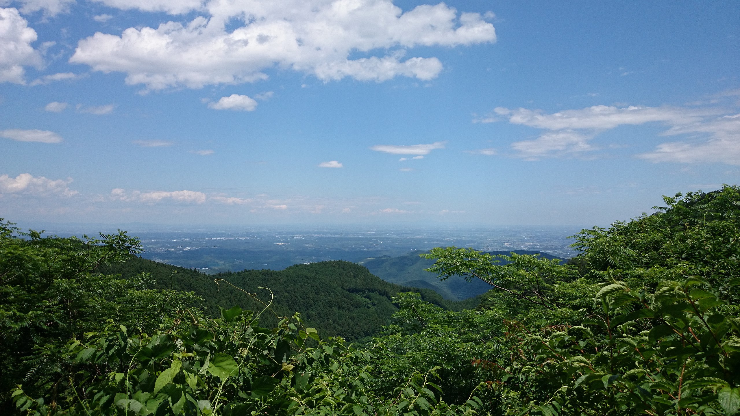
| Description | 関東平野 | ||
| Date | Taken on 14 June 2014 | ||
| Source | https://web.archive.org/web/20161030110834/http://www.panoramio.com/photo/108840521 | ||
| Author | 赤カメラ | ||
| Permission (Reusing this file) |
This file is licensed under the Creative Commons Attribution 3.0 Unported license. Attribution: 赤カメラ
|
||
| Tags (from Panoramio photo page) | Ogose, 埼玉県, 山の上, 登山, 越生町, 関東平野 |
| Camera location | | View this and other nearby images on: OpenStreetMap |
|---|
File history
Click on a date/time to view the file as it appeared at that time.
| Date/Time | Thumbnail | Dimensions | User | Comment | |
|---|---|---|---|---|---|
| current | 04:35, 12 April 2017 | | 3,840 × 2,160 (3.69 MB) | Panoramio upload bot (talk | contribs) | == {{int:filedesc}} == {{Information |description=関東平野 |date={{Taken on|2014-06-14}} |source=http://www.panoramio.com/photo/108840521 |author=[http://www.panoramio.com/user/8042391?with_photo_id=108840521 赤カメラ] |permission={{cc-by-3.0|... |
You cannot overwrite this file.
File usage on Commons
There are no pages that use this file.