File:(Drémil-Lafage) Le village vu du quartier de Montauriol.jpg
Jump to navigation
Jump to search

Size of this preview: 799 × 297 pixels. Other resolutions: 320 × 119 pixels | 640 × 238 pixels | 1,024 × 381 pixels | 1,280 × 476 pixels | 2,560 × 952 pixels | 6,680 × 2,484 pixels.
Original file (6,680 × 2,484 pixels, file size: 10.68 MB, MIME type: image/jpeg)
Captions
Captions
Add a one-line explanation of what this file represents
Summary[edit]
|
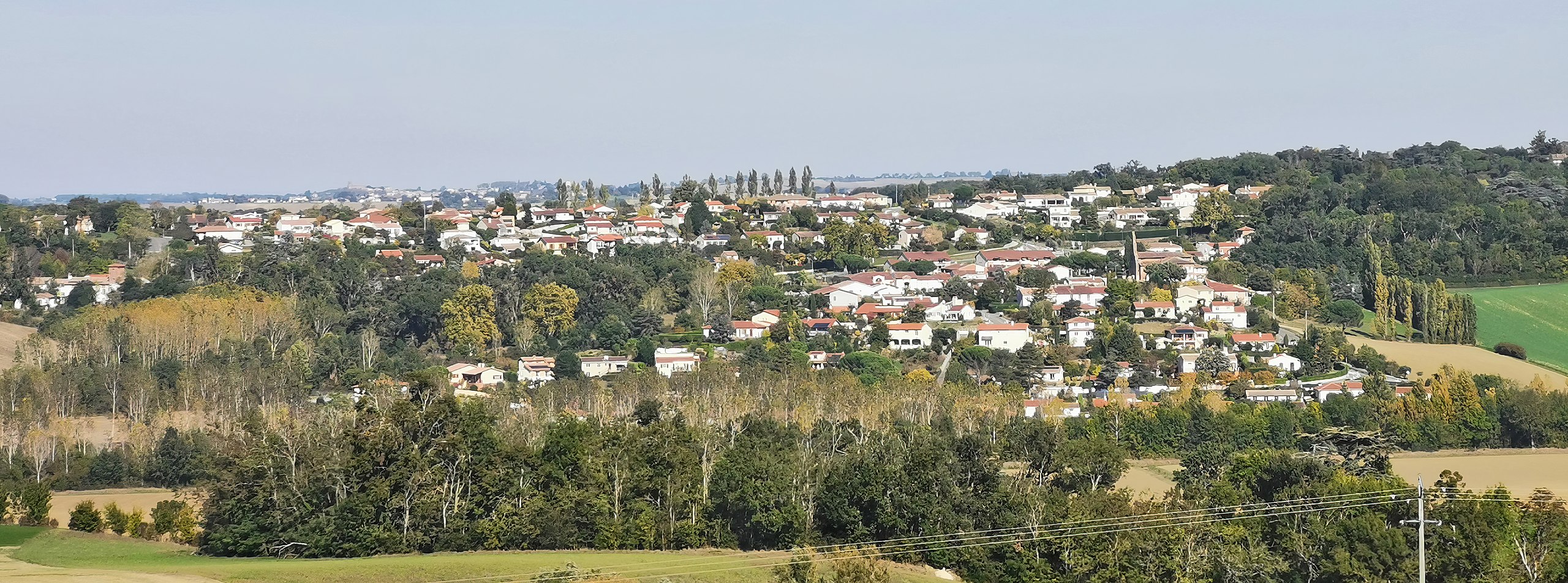
Drémil-Lafage, Haute-Garonne France - seen from the Montauriol district | |||||||||||||||||||||
|
| |||||||||||||||||||||

_Le_village_vu_du_quartier_de_Montauriol.jpg)
_-_Monument_aux_morts_du_quartier_de_Montauriol.jpg)
_Le_village_vu_du_quartier_de_Montauriol.jpg&action=edit§ion=1)
_Le_village_vu_du_quartier_de_Montauriol.jpg)
_Le_village_vu_du_quartier_de_Montauriol.jpg¶ms=043.585678_N_0001.586459_E_globe:Earth_type:camera_alt:277.4_source:exif_&language=en)
_Le_village_vu_du_quartier_de_Montauriol.jpg¶ms=043.755675_N_0001.556271_E_globe:Earth_class:object_type:object_region:FR_&language=en)
[[Category:Valued Images by Archaeodontosaurus]
File history
Click on a date/time to view the file as it appeared at that time.
| Date/Time | Thumbnail | Dimensions | User | Comment | |
|---|---|---|---|---|---|
| current | 17:32, 17 October 2021 | 6,680 × 2,484 (10.68 MB) | Archaeodontosaurus (talk | contribs) | {{Information |Description= |Source={{own}} |Date= |Author= Archaeodontosaurus |Permission= |other_versions= }} |
You cannot overwrite this file.
File usage
The following 9 pages use this file:
- User:Archaeodontosaurus/De aout 2021 à janvier2022
- User talk:Archaeodontosaurus/De aout 2021 à janvier2022
- Commons:Valued image candidates/(Drémil-Lafage) Le village vu du quartier de Montauriol.jpg
- Commons:Valued images by topic/Places/Cities and towns
- File:(Drémil-Lafage) - Chapelle de Montauriol - Le clocher mur.jpg
- File:(Drémil-Lafage) - Monument aux morts du quartier de Montauriol.jpg
- File:(Drémil-Lafage) Le village vu du quartier de Montauriol.jpg
- Category:Drémil-Lafage
- Category:Maps of Drémil-Lafage
_-_Chapelle_de_Montauriol_-_Le_clocher_mur.jpg)
Global file usage
The following other wikis use this file:
- Usage on an.wikipedia.org
- Usage on ca.wikipedia.org
- Usage on ceb.wikipedia.org
- Usage on ce.wikipedia.org
- Usage on de.wikipedia.org
- Usage on en.wikipedia.org
- Usage on es.wikipedia.org
- Usage on eu.wikipedia.org
- Usage on fr.wikipedia.org
- Usage on hu.wikipedia.org
- Usage on it.wikipedia.org
- Usage on ku.wikipedia.org
- Usage on lld.wikipedia.org
- Usage on nl.wikipedia.org
- Usage on pl.wikipedia.org
- Usage on pt.wikipedia.org
- Usage on ro.wikipedia.org
- Usage on ru.wikipedia.org
- Usage on sk.wikipedia.org
- Usage on sq.wikipedia.org
- Usage on sv.wikipedia.org
- Usage on tt.wikipedia.org
- Usage on uk.wikipedia.org
- Usage on vec.wikipedia.org
- Usage on vi.wikipedia.org
- Usage on www.wikidata.org
- Usage on zh-yue.wikipedia.org
- Usage on zh.wikipedia.org
_Le_village_vu_du_quartier_de_Montauriol.jpg&oldid=817515642)