File:-2022-03-03 Railway bridge, Elderton Lane, Antingham, Norfolk.JPG
Jump to navigation
Jump to search

Size of this preview: 800 × 600 pixels. Other resolutions: 320 × 240 pixels | 640 × 480 pixels | 1,024 × 768 pixels | 1,280 × 960 pixels | 2,560 × 1,920 pixels | 5,152 × 3,864 pixels.
Original file (5,152 × 3,864 pixels, file size: 5.98 MB, MIME type: image/jpeg)
Captions
Captions
Add a one-line explanation of what this file represents
Summary[edit]
| Description |
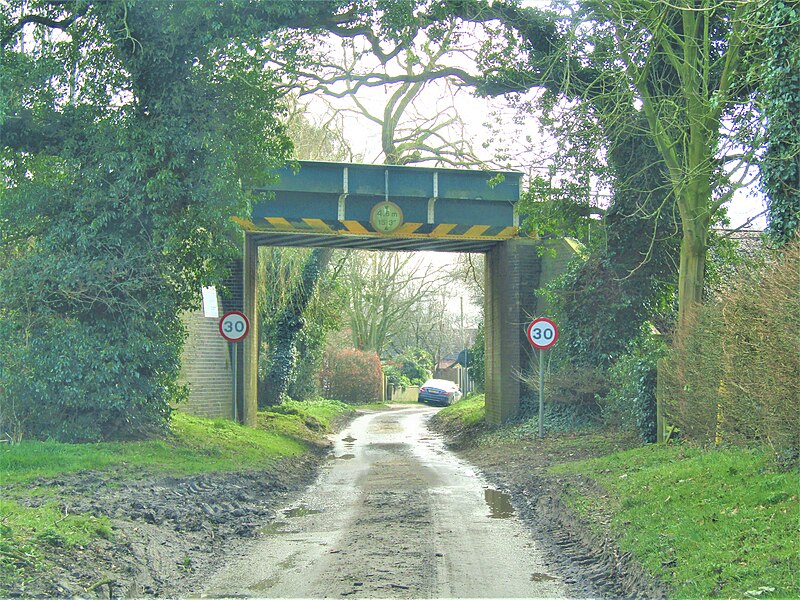
English: A bridge that carries the Bittern Line over Elderton Lane which is located in the village of Antingham, Norfolk, England. |
|
| Date |
Taken on 3 March 2022 Português: tirada a 03 de Março de 2022 |
|
| Source | Own work | |
| Author |
This file is licensed under the Creative Commons Attribution-Share Alike 4.0 International license.
|

| Camera location | | View this and other nearby images on: OpenStreetMap |
|---|
| Object location | | View this and other nearby images on: OpenStreetMap |
|---|

|
The copyright holder of this file, Kolforn (Wikimedia), allows anyone to use it for any purpose, provided that the copyright holder is properly attributed. Redistribution, derivative work, commercial use, and all other use is permitted. |
Attribution:
Kolforn (Wikimedia)
|
File history
Click on a date/time to view the file as it appeared at that time.
| Date/Time | Thumbnail | Dimensions | User | Comment | |
|---|---|---|---|---|---|
| current | 08:22, 4 March 2022 | | 5,152 × 3,864 (5.98 MB) | Kolforn (talk | contribs) | {{Information |Description={{en|1=A bridge that carries the Bittern Line over Elderton Lane which is located in the village of {{w|Antingham}}, Norfolk, England.}} |Source={{own}} |Date={{Taken on|2022-03-03|location=United Kingdom}} {{pt|tirada a 03 de Março de 2022}} |Author={{User:Kolforn/Credit}} |Permission= |other_versions= }} {{Location dec|52.855864|1.350260|region:GB}} {{Object location dec|52.855778|1.350578|region:GB}} {{attribution|nolink=Kolforn (Wikimedia)}} [[Category:Eldert... |
You cannot overwrite this file.
File usage on Commons
The following page uses this file: