File:024 looking back east.png
Jump to navigation
Jump to search
Size of this preview: 793 × 600 pixels. Other resolutions: 317 × 240 pixels | 635 × 480 pixels | 1,015 × 768 pixels | 1,280 × 968 pixels | 1,569 × 1,187 pixels.
Original file (1,569 × 1,187 pixels, file size: 3.33 MB, MIME type: image/png)
Captions
Captions
Add a one-line explanation of what this file represents
| Description |
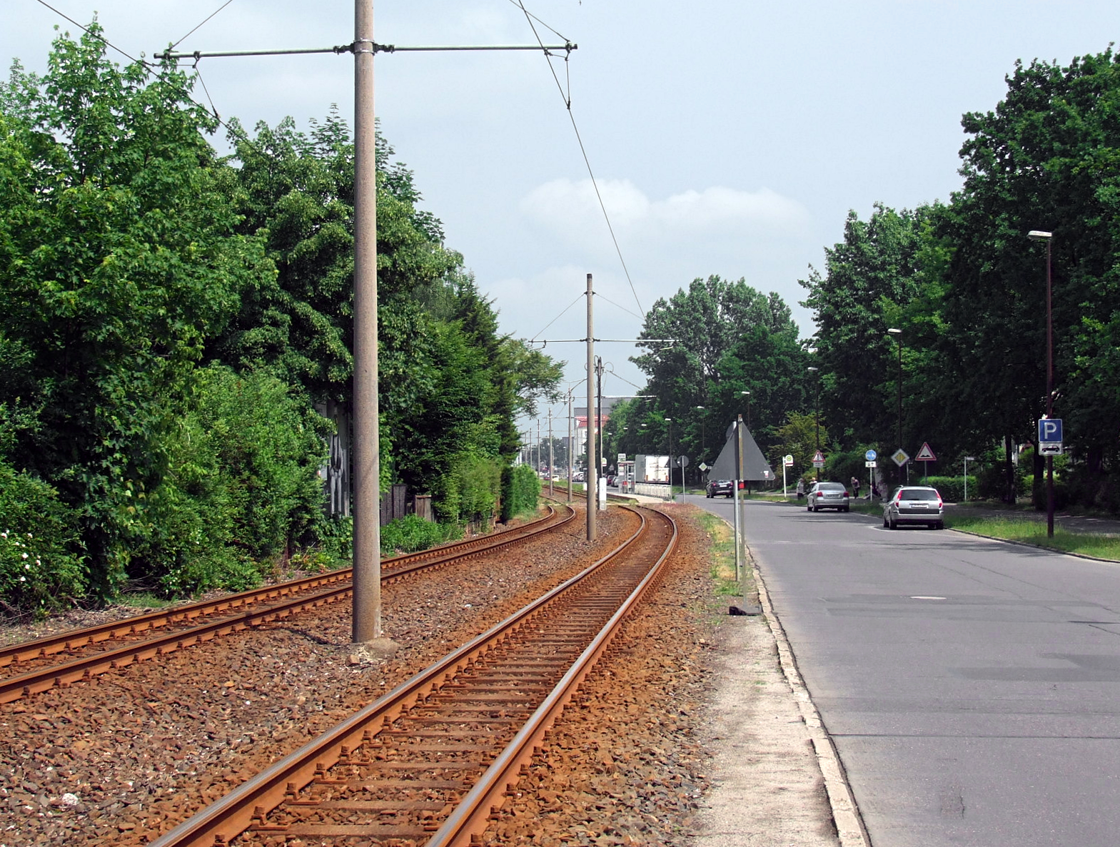
English: The curve leading to "Friedrich-List-Straße" as seen from the west. |
| Date | |
| Source | Own work |
| Author | Trio3D |
| Camera location | | View this and other nearby images on: OpenStreetMap |
|---|
I, the copyright holder of this work, hereby publish it under the following license:
This file is licensed under the Creative Commons Attribution-Share Alike 3.0 Unported license.
- You are free:
- to share – to copy, distribute and transmit the work
- to remix – to adapt the work
- Under the following conditions:
- attribution – You must give appropriate credit, provide a link to the license, and indicate if changes were made. You may do so in any reasonable manner, but not in any way that suggests the licensor endorses you or your use.
- share alike – If you remix, transform, or build upon the material, you must distribute your contributions under the same or compatible license as the original.
File history
Click on a date/time to view the file as it appeared at that time.
| Date/Time | Thumbnail | Dimensions | User | Comment | |
|---|---|---|---|---|---|
| current | 07:47, 8 October 2018 | | 1,569 × 1,187 (3.33 MB) | Trio3D (talk | contribs) | Reworked from source material. |
| 12:13, 22 June 2016 |  | 1,525 × 1,200 (2.92 MB) | Trio3D (talk | contribs) | {{Information |Description ={{en|1=Track curving to "Friedrich-List-Straße" as seen from the west.}} |Source ={{own}} |Author =Trio3D |Date =2016-05-31 |Permission = |other_versions = }} {{Location|51|4... |
You cannot overwrite this file.
File usage on Commons
The following 8 pages use this file:
- User:Chumwa/OgreBot/Potential transport maps/2016 June 21-30
- User:Chumwa/OgreBot/Public transport information/2016 June 21-30
- User:Chumwa/OgreBot/Transport Maps/2016 June 21-30
- User:Chumwa/OgreBot/Travel and communication maps/2016 June 21-30
- User:Indeedous/Recent Uploads/Cottbus
- User:Indeedous/Recent Uploads/Cottbus/2016
- User:Nordlicht8/Rail Germany/2016 June 21-30
- User:Trio3D/Gallery