File:100927 Shuri Cstl aerial.jpg
Jump to navigation
Jump to search

Size of this preview: 800 × 450 pixels. Other resolutions: 320 × 180 pixels | 640 × 360 pixels | 920 × 518 pixels.
Original file (920 × 518 pixels, file size: 681 KB, MIME type: image/jpeg)
Captions
Captions
Add a one-line explanation of what this file represents
Summary
[edit]
| Description |
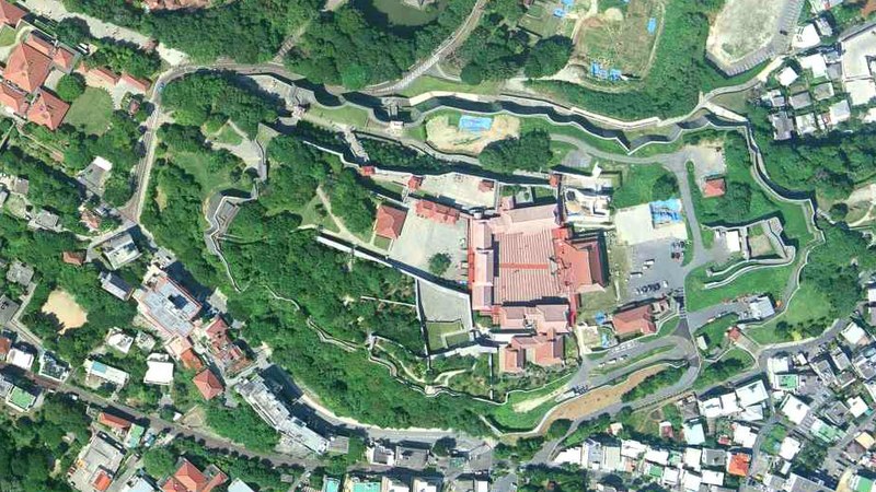
沖縄県那覇市首里城上空の空中写真。 国土交通省撮影の空中写真COK20101-C11-12を使用。 |
| Date | |
| Source | 国土地理院地図・空中写真閲覧サービス |
| Author | 国土交通省国土地理院 |
| Camera location | | View this and other nearby images on: OpenStreetMap |
|---|
Licensing
[edit]

|
The copyright holder of this file, the Ministry of Land, Infrastructure, Transport and Tourism of Japan, allows anyone to use it for any purpose, provided that the copyright holder is properly attributed. Redistribution, derivative work, commercial use, and all other use is permitted. |
Attribution:
Copyright © National Land Image Information (Color Aerial Photographs), Ministry of Land, Infrastructure, Transport and Tourism
|
 |
This image is copyrighted by the Ministry of Land, Infrastructure, Transport and Tourism of Japan. For terms of use, see the stipulation to use of National Land Information (in Japanese) and message from MLIT (in Japanese and English). When you display this image on an article, include the following phrase in the description: "Made based on National Land Image Information (Color Aerial Photographs), Ministry of Land, Infrastructure, Transport and Tourism".
|
File history
Click on a date/time to view the file as it appeared at that time.
| Date/Time | Thumbnail | Dimensions | User | Comment | |
|---|---|---|---|---|---|
| current | 13:11, 11 December 2021 | | 920 × 518 (681 KB) | 名古屋太郎 (talk | contribs) | {{Information |Description= 沖縄県那覇市首里城上空の空中写真。 国土交通省撮影の空中写真COK20101-C11-12を使用。 |Source= 国土地理院地図・空中写真閲覧サービス |Date= 2010-09-27 |Author= 国土交通省国土地理院 |Permission= |other_versions= }} Category:Shuri Castle Category:Taken with Leica Wild Heerbrugg RC30 |
You cannot overwrite this file.
File usage on Commons
The following 3 pages use this file:
File usage on other wikis
The following other wikis use this file:
- Usage on ca.wikipedia.org
- Usage on ja.wikipedia.org
- Usage on la.wikipedia.org
- Usage on www.wikidata.org