File:100 jaar geologie in Kaart (cropped).png
Jump to navigation
Jump to search

Size of this preview: 800 × 533 pixels. Other resolutions: 320 × 213 pixels | 640 × 427 pixels | 1,024 × 683 pixels | 1,200 × 800 pixels.
Original file (1,200 × 800 pixels, file size: 411 KB, MIME type: image/png)
Captions
Captions
Add a one-line explanation of what this file represents
Summary[edit]
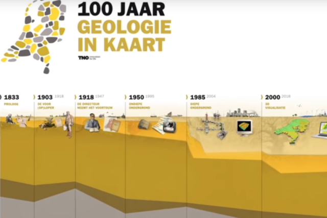
| Description | 100 jaar geologie in Kaart |
| Date | |
| Source | Schatkaart van de ondergrond voor de ontdekkingsreizigers van nu |
| Author | Geologische Dienst van Nederland. TNO |
| Permission (Reusing this file) |
CC0, standard tag of the Dutch governement |
| Other versions |

.png&action=edit§ion=1)
| This file is made available under the Creative Commons CC0 1.0 Universal Public Domain Dedication. | |
| The person who associated a work with this deed has dedicated the work to the public domain by waiving all of their rights to the work worldwide under copyright law, including all related and neighboring rights, to the extent allowed by law. You can copy, modify, distribute and perform the work, even for commercial purposes, all without asking permission.
|
File history
Click on a date/time to view the file as it appeared at that time.
| Date/Time | Thumbnail | Dimensions | User | Comment | |
|---|---|---|---|---|---|
| current | 09:47, 7 October 2018 | | 1,200 × 800 (411 KB) | Ymnes (talk | contribs) | File:100 jaar geologie in Kaart.png cropped 30 % horizontally, 10 % vertically using CropTool with precise mode. |
You cannot overwrite this file.
File usage on Commons
The following page uses this file:
.png&oldid=740434584)